
A Solar System Journey
John Rouda
Explore planets with facts and images.
The app presents a journey through the solar system, featuring all eight planets. It includes facts, comments, and close-up images for each planet, along with animated orbits.

Explore with gesture controls
Explore by rotating, tilting, and zooming a 3D globe. Select locations to view topographic and gravity data. Pinpoint key features like volcanoes, craters, and spacecraft landing sites.
Showing 21–40 of 1,000 ranked alternatives.
John Rouda
Explore planets with facts and images.
The app presents a journey through the solar system, featuring all eight planets. It includes facts, comments, and close-up images for each planet, along with animated orbits.

TVGSOFT LIMITED
Point your phone to identify and
Identify , , and constellations by pointing the phone skyward. View real-time sky maps with overlays. Learn about celestial objects and satellites. Set location for accurate sky display. Save favorite constellations and .
Michael Howard
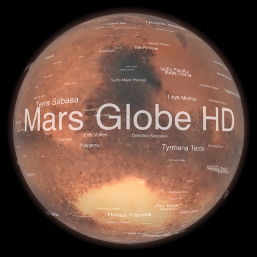
Explore with satellite maps and topographic data
Explore with a high-resolution satellite map and topographic lighting. View over 1500 annotated surface features with detailed information and links. Navigate the virtual freely or follow a guided tour.

Andrei Nistorescu
Explore galaxies and planets interactively
Explore a 3D map of the Milky Way, Andromeda, and their satellite galaxies. Navigate through the Orion Arm to view nebulae and supernovae. Fly through planetary atmospheres and land on planets.

Peter Bohl
Navigate with GPS and map overlays
Navigation allows users to view direction aligned with satellite imagery or maps. Displays street address, GPS coordinates, elevation, and What3Words codes. Taps switch between satellite and map views. Pinch or spread to zoom.


Aesthetic Apps & Widgets srl
Offline altitude and location tracking.
The app provides altitude readings using GPS, Aster, or barometric data. It functions offline for wilderness adventures and includes features like a speedometer, step counter, and flashlight.

Igor Panichev
Explore 3D maps and global facts
Explore a 3D globe with relief models and political and physical maps. View day/night cycles, time zones, and city lights. Access over 2,600 geographic objects and more than 500 wonders of the .


ASR Concepts LLC
Predict tides and track marine weather
Track tides and marine weather with real-time forecasts and buoy observations. View NOAA marine reports and weather data. Plan activities like fishing, boating, or beach trips. Set alerts for changing conditions.

Makoto Katsumata
Explore with 3D and 2D views
View 3D and 2D side by side. Tap or hold to specify locations. Adjust 3D map angles. Search for addresses and locations. Use compass and GPS. Access real-time traffic data. Switch to full screen. Search Wikipedia. Control map zoom from Apple Watch.

Flamethrower plc
Locate yourself with GPS precision
Display current coordinates, address, county, and altitude for exact location. Scroll the map to navigate and track surroundings. Open the to instantly view position details.

Michael Howard
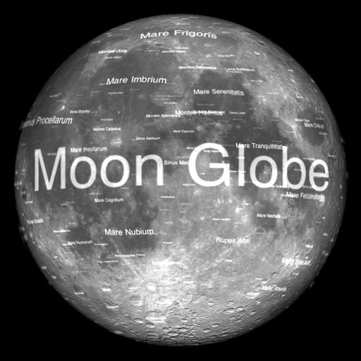
View Earth's Moon in 3D.
The app renders the Moon in realtime 3D using satellite imagery and topographic data. Users can manipulate the view, adjust sunlight, and see labeled terrain features and spacecraft.

FOXPOI PTE. LTD.
View locations with satellite imagery
View high-definition 3D globe and latest satellite imagery. Load map tile data for detailed terrain and urban features. Use oriental compass for direction. Access historical street view for past locations. Measure area and distance on .

Josef Grunig
Launch rockets in AR from your courtyard
Launch rockets in Augmented Reality from your courtyard. Control thrust vectoring and perform landings. Choose from various rocket prototypes and real spacecraft. Color rockets and view them in action. Test engine fires on your table.

Top Line Solutions Pte. Ltd.
Build spaceships, rockets, explore
Kids can build and control starships in a -themed game. Learn facts about rockets and travel. Explore interactive activities related to exploration.
Michael Howard
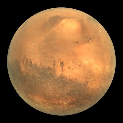
View rover images in 3D and panoramas
View Mars rover images in panoramic context with 3D options. Explore photos from Curiosity, Spirit, and Opportunity. Navigate terrain and compare images over time. Save and share selected views.

SkyTale Software GmbH
Landing the
Simulate landings with realistic flight dynamics and detailed graphics. Adjust controls to manage approach and landing. Receive feedback on performance with analysis and scoring. Save and review landing attempts.
Apps are ranked by functional similarity, category fit, rating confidence, and popularity.