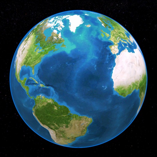
Explore by rotating, tilting, and zooming a 3D globe. Select locations to view topographic and gravity data. Pinpoint key features like volcanoes, craters, and spacecraft landing sites.
by Viktor Goltvyanytsya★ 4.3159 ratingsEducation$6.99Data updated 2026-09-10
Explore planets, track celestial events, simulate systems
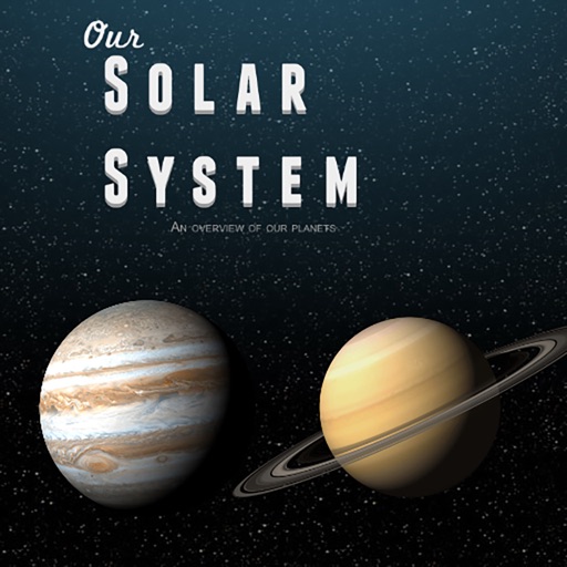
Explore the with 3D models of planets, moons, and asteroids. Rotate and zoom objects for detailed views. Learn about celestial bodies through interactive encyclopedia entries.
Track real-time bus locations and predicted arrival times at stops. Find nearby stops by zooming. Pin frequently used stops on the map. Share trip details with others. View route maps and service alerts.
The app offers real-time traffic information for Minnesota highways and interstates. It includes audio notifications, a zoom-enabled map, winter road conditions, traffic incidents, and road closures.
View images and slide through high-definition photos
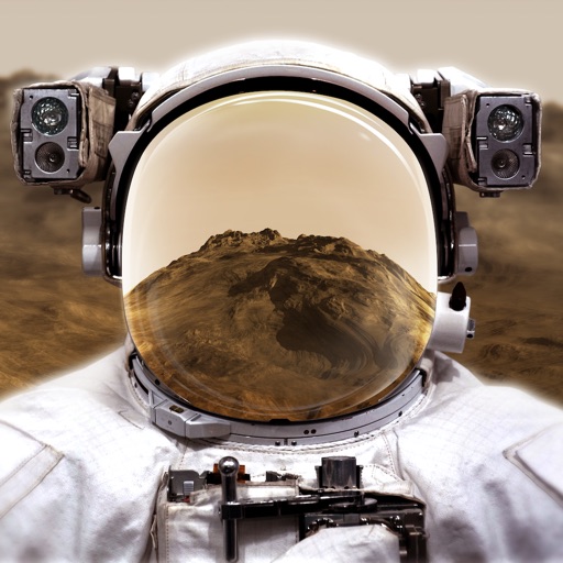
View rover images from Perseverance, Curiosity, Opportunity, and Spirit. Tap to enter slideshow mode, double-tap to zoom, or share images. The tab displays visuals about atmosphere, gravity, temperature, and surface features.
Point your device at a mountain to see its name, altitude, and distance. Identify peaks in a 360-degree AR view. Access data for nearly one million peaks worldwide. Uses 3D coordinates and gyroscope for accurate display.
Calculate altitude using GPS, ASTER, or barometer (iPhone 6 and later). Display average altitude from GPS and ASTER data. Show peaks, compass, and distance grid on an integrated map. Support Apple Watch. Choose unit of measurement.
Explore a 3D globe to learn about countries, their cultures, wildlife, transportation, historical figures, and landmarks. View facts, images, and descriptions of over 200 nations.
Explore a mobile offering offline access to the Museo del . View introduction, history, structure, and management details. Access practical information and detailed descriptions of masterpieces like Las Meninas and La Maja Desnuda.
View upcoming ISS passes and detailed pass information. Track next pass countdown and receive notifications. Share pass details easily. Access past and future ISS trajectories. Watch live NASA ISS streams. No cost.
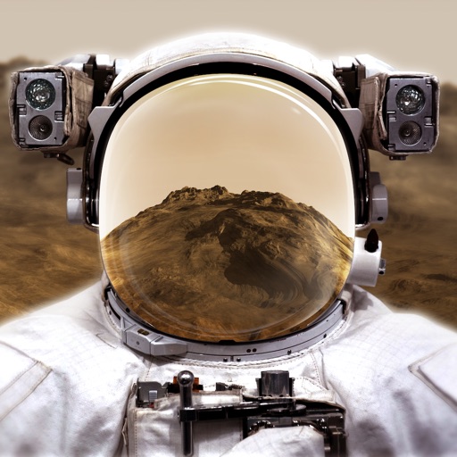
Explore through a virtual reality experience using a smartphone and cardboard VR viewer. Navigate the surface, learn about planetary features, and access interactive educational content about the planet.
Simulate space approach and landing with realistic flight physics. Navigate orbits, interact with tutorials, and choose White Sands as a landing site. View detailed cockpit instruments and adjust flight parameters for accurate simulation.
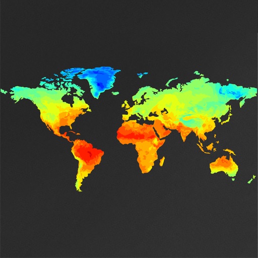
View global weather data with interactive map panning and zooming. Switch between weather layers for current and forecasted conditions. Track detailed weather changes up to 0.25 degrees on land or sea.
Provides synonym and antonym suggestions for words. Users can search for definitions, example sentences, and related terms. The functions offline with access to over 90,000 words.
Place countries, territories, and landmarks on a 3D globe. View capital cities and major landmarks. Explore high-resolution maps with translucent oceans. Learn about geography through interactive placement and detailed locations.