

Apps Like Navigraph Charts for iPhone and iPad
Navigate, track, and fly simulated flights
Access aviation and navigation data for flight simulation. View Jeppesen and IFR coverage at airports worldwide. Download and manage for use in simulated flights. Sync with flight simulation software for real-time data.
Navigraph Charts screenshots
Ranked alternatives
Showing 261–280 of 1,000 ranked alternatives.

HS FLY
HOLY STONE TECHNOLOGY Co.,Ltd.
Fly with FPV, track GPS, control via
Control the via Wi-Fi with FPV support for real-time video and clear photo display. Enable GPS positioning and smartphone following flight. Record and view videos and photos from the drone.
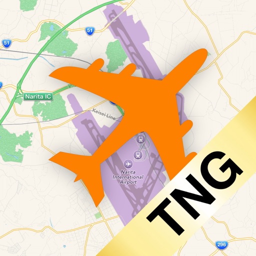
X-Mapper TNG (for X-Plane Desktop)
Asahi Technoservice, Inc.
Track flight data and map positions
Connects to -Plane Desktop to display map tracking for simulated aircraft. Upgrade adds avionics panel, flight path display, and flight controller with feedback. Syncs with -Plane 10 or 11.


AR.Race 2
Parrot
Fly drones, race, capture aerial media
Control AR.Drone 2.0 via Wi-Fi using iPhone or iPad touchscreen as a directional pad. Choose between free flight or timed race modes. Capture aerial photos and videos during flights. Perform aerobatic maneuvers mid-flight.

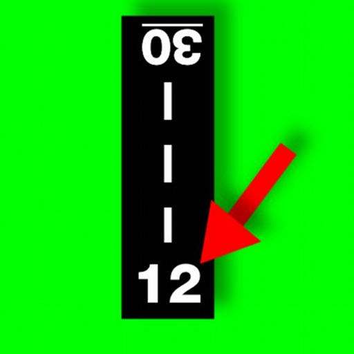
Spin-a-Wind
Leonard Robinson
Calculate wind components and airspeeds
Calculate wind components, temperatures, altitudes, and airspeeds. Input runway number, wind direction, and speed. Determine headwind, tailwind, and crosswind values. Adjust for parallel runways based on magnetic heading.


SEAiq Pilot VPP
Sakhalin, LLC
Navigate with chart support and AIS data
View nautical charts in S-57, S-63, iENC, and BSB/KAP formats. Use external NMEA/AIS data over WiFi. Display official HO S-57/S-6 charts. Navigate river, channel, and harbor routes. Access real-time positioning and vessel tracking data.

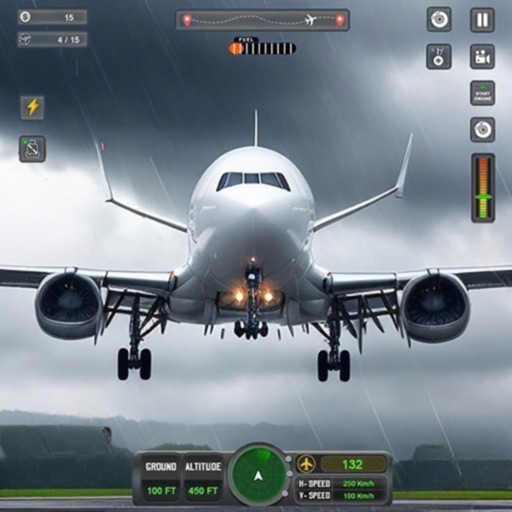

Head Tracker
John Yu
Track movements for flight and driving simulations
Uses the iPhone’s TrueDepth camera for 6DOF tracking. Users can control flight and driving simulations with movements. Input is sent to opentrack for compatible games. No headset or additional hardware is needed.

Flight Simulator FlyWings 2015
Thetis Consulting
Fly and manage your aircraft
Allows users to simulate flying over Paris with realistic aircraft physics. Choose from two airports and 10 planes to complete over 200 missions. Adjust weather conditions including clear sky and thunderstorms. Track data and manage in-game settings.

Nanosaur 2
Pangea Software, Inc.
Pilot a dinosaur with massive firepower.
Pilot a future dinosaur with firepower to retrieve missing eggs. Battle other Nanosaurs and their defense systems while collecting powerups for various weaponry.

iSailGPS : NOAA USA RNC Charts
James Associates Inc.
Plot courses and track your route
Use device as high-performance GPS receiver with USA Raster Nautical . Access without cell signal. Navigate safely in emergencies. Sync with chart plotter if available. Download for offline use. Track location and display real-time data.

The Muslim Pilot
MOHAMMED AL OTAIBI
Calculate prayer times with flight data
Calculate prayer times during flights using waypoint coordinates and altitude. Determine prayer times en route with ground speed and track data. Sync with flight plans for accurate timing.



How we rank alternatives
Apps are ranked by functional similarity, category fit, rating confidence, and popularity.