Track speed and distance in miles and kilometers. Display maximum, average, and current speed. Show road names and speed limits. Receive speed camera alerts. View weather information. Sync with Apple Watch. Display odometer readings.
by Unicom TOV★ 4.32,044 ratingsNavigationFreeData updated 2026-09-09
Displays speed in and distance traveled using GPS. Tracks maximum speed with vibration alerts. Shows position and time of maximum speed on a map. Switches between light and dark modes. Notifies of GPS measurement errors.
Track speed using iPhone's GPS. Display speed in mph or km/h based on region settings. Show max and average speed. Choose between digital and analog display styles. Monitor speed during car, bike, running, or riding activities.
Track progress through a roadbook with symbols. Display current track totals and average speed over time or distance. Monitor distance and speed in kilometers or miles.
Display current temperature, humidity, wind speed, direction, feels like, and pressure. Update data every 10 to 30 minutes. Set alarms with customizable settings. View large digital or analog faces. Choose from various themes and adjust settings.
Track speed in real-time with GPS for cars and bikes. View speed in mph and kmh using a HUD display. Set speed alerts and log trips. Monitor routes and receive accurate speed readings. Sync data for trip analysis.
Displays current , distance, direction, and altitude in MPH, KM/H, and KNOTS. Shows decimal values. Tracks top and average . Records and altitude data for the last few hours. Supports iPhone and iPad. Includes "speak " feature for audio feedback.
Track cycling performance with real-time speed, distance, and route data. Choose from digital, analog, or map displays. View ride history and manage past rides. Automatically pause timing when stationary. Swipe to switch between displays.
Track , distance, and time during trips. Record trip data automatically. View real-time statistics and historical trip details. Share trip summaries with others. Set and monitor limits. Export trip data in various formats.
Measure geographical orientation with a precise . Display longitude, latitude, altitude, weather, and magnetic field data. Record location points and view saved travel history.
View real-time travel conditions in , Texas, including traffic speeds, road closures, weather impacts, and construction updates. Access live camera feeds, incident locations, and evacuation alerts to plan trips effectively.
Specs including display, hardware, network, camera, and battery details. Access storage cleaning, internet speed testing, Bluetooth finding, and Wi-Fi troubleshooting tools.
Navigate with smart route planning and real-time traffic updates. Access 3D offline maps and precise estimated time of arrival. Receive speed camera warnings and traffic alerts. Support for , HGV, RV, and other large vehicles.
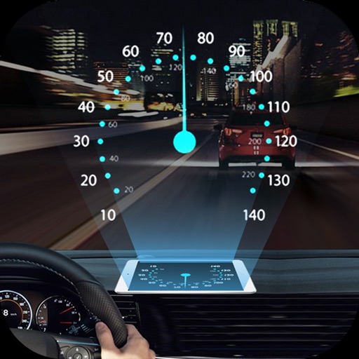
Projects speed, clock, weather temperature, cruise control, and now playing song information onto the windshield when iPhone is rotated and placed near the windshield. Displays data in landscape mode for easier visibility while driving.
Navigate with voice-guided turn-by-turn directions in multiple languages. Plan door-to-door routes. View upcoming maneuvers and distances. Access offline for 200+ countries. Receive speed limit and camera warning alerts.
Track mountain bike rides with GPS to record speed, distance, elevation, and analytics. View trail details, difficulty ratings, and save routes. Share rides, on segments, and earn achievement badges.
Track history with detailed records of services, parts, and costs. Set and manage service due dates. Archive completed vehicles. Add information including VIN, license plate, and odometer readings. View schedules and update details.
Track and times, day length, twilight, golden hour, solar power output, and UV Index using an interactive solar disk. Switch to Weather Mode for temperature, precipitation, wind speed, and humidity data.
Convert units between metric and imperial systems including area, distance, speed, temperature, volume, time, weight, energy, and power. Calculate area, speed, distance, and volume with supported units. Switch between units quickly and accurately.
Displays current wind direction and speed, runway course, and cross, head, or tailwind components. It shows applied wind limits, forbidden wind angles, and a maximum wind speed table. Users can set up wind parameters for accurate flight evaluations.