
Houston TranStar
Track travel time and road conditions
Texas A&M Transportation Institute
iPhone Screenshots


iPad Screenshots


Description
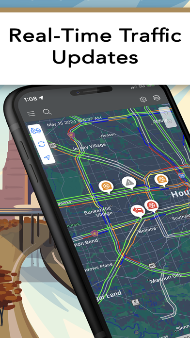
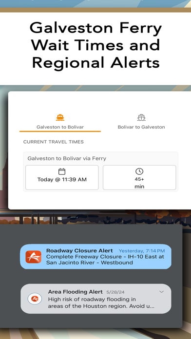
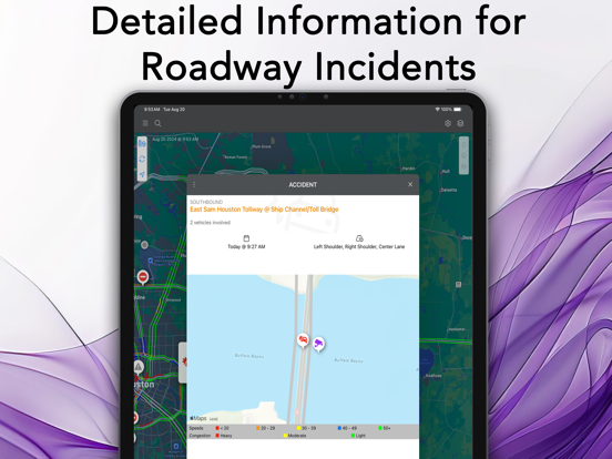
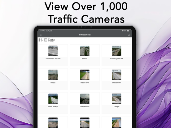
View real-time travel conditions in , Texas, including traffic speeds, road closures, weather impacts, and construction updates. Access live camera feeds, incident locations, and evacuation alerts to plan trips effectively.
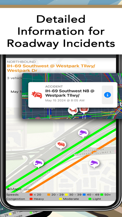
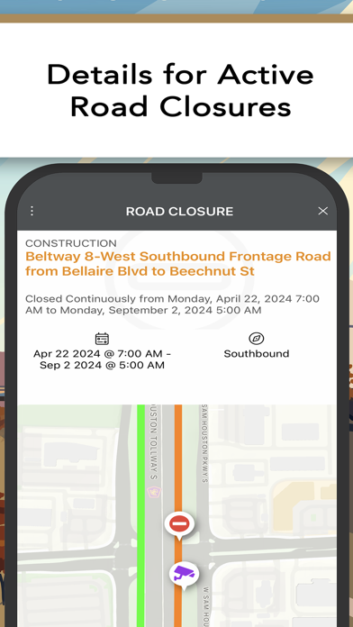
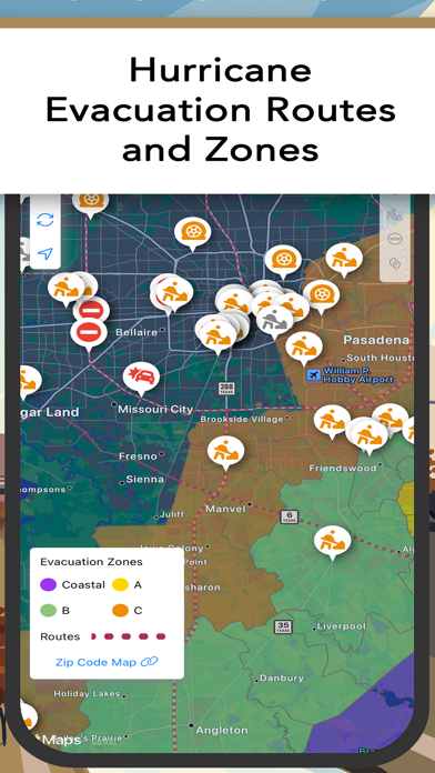
Get real-time travel conditions in the Houston, Texas region with information directly from Houston TranStar and its partners. The app provides travelers with travel time and speed information from roadway sensors, weather impacts such as flooded and icy roadways, regional travel alerts, evacuation information, live traffic camera images, incident locations, and construction schedules to aid in trip planning.
About Houston TranStar – Houston TranStar is a unique partnership of representatives from the City of Houston, Harris County, Houston METRO, and the Texas Department of Transportation who share resources and exchange information under one roof to keep motorists informed of travel conditions and keep roadways clear and lives safe in the fourth most populated city in the United States. Established in 1993, TranStar manages the region’s transportation system and is the primary coordination site for state, county, and local agencies when responding to incidents and emergencies.
App information from Apple App Store. Houston TranStar and related trademarks belong to Texas A&M Transportation Institute.