

Apps Like My GPS Coordinates Pro for iPhone and iPad
My GPS Coordinates Pro screenshots
Ranked alternatives
Showing 361–380 of 1,000 ranked alternatives.

GPS Alerts
Andras Kovacs
Track location and receive
Set location-based to notify when approaching specific places. Track real-time location and receive notifications when leaving or arriving at predefined locations. Share your location with trusted contacts and receive updates on their status.


Universal Package Tracker
VEKTOR-III TOV
Track packages, scan codes, update status
Track packages with real-time delivery updates from multiple carriers. Enter tracking numbers manually or via barcode/QR code scans. View shipment timelines, estimated delivery dates, and courier details.


Land Measure Pro
Pendlebury Software LLC
Area, length, and angles on maps
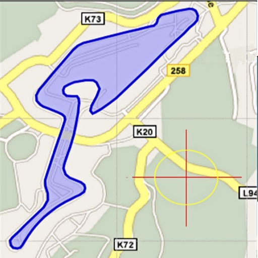
Area, lengths, and angles on maps using an interactive crosshair. Trace outlines to create connected points, updating area and perimeter in real time. Adjust radius for scaling features. View dynamic length and angle as you move the crosshair.



GPS Speedometer・Speed Tracker
Zipo Apps Ltd.
Track speed with real-time GPS updates
GPS Speedometer tracks real-time speed using GPS. Users can monitor current speed and record maximum speed during activities. The allows selection of units and displays speed data on a map.


Unit Converter · 14-in-1
Xi'an 7kit Technology Co., Ltd.
Convert units with precision and style
Convert units across 14 categories including length, weight, and temperature. Switch between metric, imperial, and Chinese traditional systems. Customize display formats and save frequently used conversions.



MiX Fleet Manager Mobile
MiX Telematics
Manage data on the go
Track assets and drivers on a map with real-time speed and movement updates. Access management data on the go. Login using existing MiX credentials.

GeoViewer from Extensis
Eshaan Enterprises LLC
View imagery on the go.
The app displays MrSID and JPEG 2000 imagery, along with vector formats like Esri Shapefile and KML. Users can connect to Dropbox, view online base maps, save locations, adjust layer opacity, and select image bands for multispectral images.

iGeoTrans X
TRAN TRUNG CHUYEN
Record routes, collect data, track locations
Record routes from specific locations to survey sites and display them on a map. Measure distances between coordinates or map points. Calculate areas using coordinate lists or map selections.

AgPilotX
Insero LLC
Set patterns, track progress, log data
Set guidance patterns and view them via LEDs on the lightbar. Monitor flow rates in real time. Log data and access aerial imagery with background maps. Connect to iPad via Wi-Fi and BLE for control and data logging.
How we rank alternatives
Apps are ranked by functional similarity, category fit, rating confidence, and popularity.