
iPhone Screenshots


Description
POTAble helps amateur radio operators find Parks on the Air locations nearby or along their next trip.
Use your current location or choose one manually to explore nearby parks, compare distances, and plan future activations. Download park datasets for offline access when cellular service is unreliable.
Features include:
• Find and sort nearby POTA parks
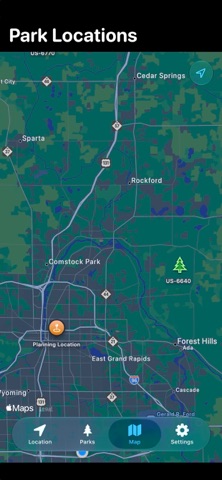
• Explore park locations on an interactive map
• Download park data by state for offline use
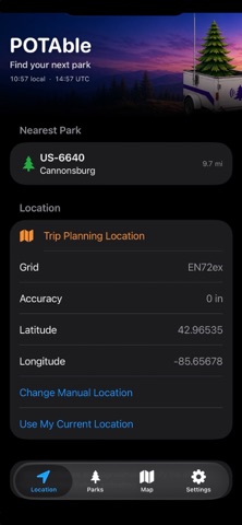
• View coordinates, Maidenhead grid square, distance, and GPS accuracy
• Open directions in Apple Maps, Google Maps, or Waze
• Mark parks as Worked and record the date
• Save private notes for individual parks•
Disclaimers:
Park locations shown by POTAble are approximate. Always verify official park boundaries and activation requirements with the managing agency before operating. This app was created with the help of AI agents.