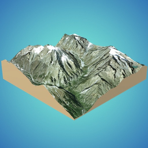
Navigate using high-resolution topographic for the U.S., Canada, Australia, and European countries. Download or print for offline use. Track routes with GPS and view elevation details. Access satellite , nautical charts, and OpenStreetMaps.
by East Studios Oy★ 4.54 ratingsNavigation$2.99Data updated 2026-11-09
Navigate using high-resolution satellite imagery for Bay and Copper River watersheds. Access updated for accurate route planning. View real-time environmental changes. Mark and save fishing spots. Share locations with crew members.
Real-time maps and GPS locations. Access satellite imagery and 360-degree views for global exploration. Navigate streets with turn-by-turn directions. Track current location and update maps in real time.
Record GPS tracks of trips and analyze statistics. Share routes with friends. Use efficient background tracking to minimize battery drain. Supports Open Street Maps and Google Maps.
Create 3D models from online sources like Bing Maps or local cloud points. Export data as CSV, TXT, STL, or OBJ. Modify models by cutting, scaling, and animating. Calculate surface areas and volumes in real-world units.
Plan and track outdoor routes with 3D terrain views. Measure elevation changes and distance. Save and share custom trails. Access real-time GPS navigation and offline maps. Adjust routes based on elevation and difficulty.
Create and manage travel tracks with waypoints. Import and export maps in .gpx format. Use with unlimited storage. Access background barometer and pedometer data. Display color gradients for speed and height.
View detailed maps of Norway with accurate trails, sea routes, and city navigation. Search locations and addresses. Use GPS for auto-rotating maps and compass. Download maps for offline use. No advertisements.
Access digital nautical for offline use. View comprehensive harbour details and features. Compatible with NV paper . Supports North Sea, Baltic Sea, Netherlands, Wadden Sea, and Ijsselmeer regions.
View and interact with saved maps and data offline. Add markers, customize layers, and share maps via email or social media. Navigate using map views and search for locations. Sync data with web tools.
KML/KMZ files to view on mobile devices. Add new locations by searching, entering addresses, or long-pressing on the map. Edit and save map data directly on the device. Share via email or cloud services.
Plan using offline and save them to My Map. Pin points of interest with descriptions and photos. Navigate existing or to any location. Record trips and display elevation graphs. Export as .gpx files. Integrate with Garmin. Buy professional .
Measure altitude using barometric pressure and GPS data. Display altitude in feet and meters with real-time accuracy. Calibrate sensor and switch between day and night display modes.
Navigate college campuses by searching for buildings and locations. Add campuses and locations manually. Rate locations for accuracy. Earn FMCPoints and compete on a leaderboard for contributing content.
Track skiing routes with real-time location data and detailed trip measurements. View visualized routes on maps with distance and elevation metrics. Log ski sessions and analyze performance statistics.
Navigate using a 3D topographic map of the USA and Hawaii. Access offline vector maps for navigation in vehicles or outdoors. Switch to online maps for global coverage with automatic caching. Explore locations with zoom and scroll features.