Apps Like Scenic Map Western USA for iPhone and iPad
Explore 3D maps offline worldwide
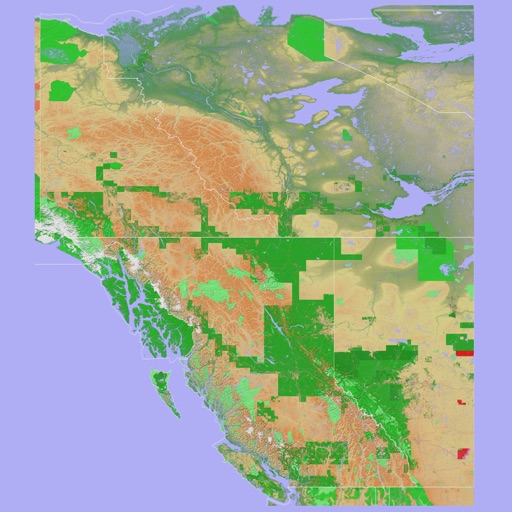
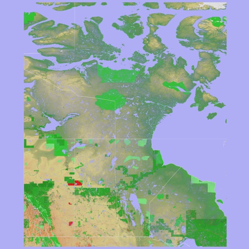
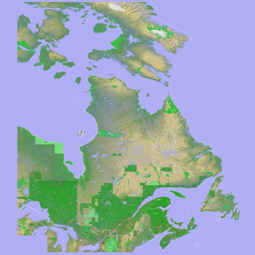
Navigate using a 3D topographic map of the USA and Hawaii. Access offline vector maps for navigation in vehicles or outdoors. Switch to online maps for global coverage with automatic caching. Explore locations with zoom and scroll features.
by Mark Granger★ 4.213 ratingsNavigation$4.99Data updated 2026-09-08
Navigate using a 3D topographic map of the USA with offline access. View vector map data without internet. Use in vehicles or during hikes. Switch to global online maps with automatic caching for areas without coverage.
Navigate with a 3D topographic map of the USA. View detailed terrain and vector data offline. Use in vehicles or during outdoor activities. Access global maps online with automatic caching for offline use.
View 3D topographic maps of offline with vector data. Navigate by car, boat, plane, or on foot. Access worldwide satellite maps online with automatic caching. Toggle between map types and zoom to any location.
The app provides 3D topographic maps for iPad and iPhone. Vector map data is contained within the app for offline use, supporting navigation in various environments.
View real-time images for rain, snow, and mixed precipitation. Receive severe alerts. Get 24-hour precipitation forecasts. Access satellite cloud cover imagery. Select from standard, hybrid, or satellite map backgrounds.
Plan hunts by viewing species distribution and 3D . Access units and land boundaries. Save offline and mark waypoints. Track weather conditions and property lines. Use satellite, lidar, and hybrid basemaps for terrain analysis.
View topographic with hill-shading and weather updates. Navigate using GPS and map layers. Log trails, share routes online, and plan backpacking or off-roading adventures. Track elevation and explore public land or custom trails.
Track outdoor activities like hiking, biking, walking, and running with GPS. Save and navigate to waypoints. Store favorite destinations. View activity logs and maps. Share routes and track progress.
View and navigate USGS and satellite imagery. Download for offline use. Track hiking routes and save locations. Access detailed terrain and elevation data.
Use GPS to navigate trails . Import custom maps and create personal maps. Access topographic, hiking, cycling, and city maps from publishers like National Geographic and National Park Service. Sync with devices for use.
Plan and execute backcountry trips with detailed topographic maps. Customize maps for specific activities. Download and compare maps for offline use. Combine overlays to adjust map views. Build routes with smart tools.
Create and collaborate on detailed maps using satellite imagery and 3D terrain. Explore cities with 360° Street View. Add annotations and share maps with others. Navigate streets and view neighborhood details.
Track hikes with distance, vertical gain, time, and calories burned. View maps with color-coded elevation tracks and stats on Apple Watch. Backup data to iCloud and share between devices. Use USGS and satellite maps for navigation.
Navigate with offline GPS and real-time tracking without cellular service. Access 800+ map layers including government land ownership, private parcel boundaries, and water depths. Cache for offline use and view color-coded land data nationwide.
View high-definition 3D globe and latest satellite imagery. Load map tile data for detailed terrain and urban features. Use oriental compass for direction. Access historical street view for past locations. Measure area and distance on .