Apps Like Quickgets Geo: geodata widgets for iPhone and iPad
Track location, speed, and altitude
Displays current course, speed, altitude, coordinates, orientation, and weather using GPS and compass. It includes advanced bookmarking, Street View, and live Flyover mapping features.
by Alvaro Maroto Conde★ 4.4229 ratingsLifestyle$2.99Data updated 2026-10-30
The app records user routes with GPS, allowing users to relive journeys using maps, photos, and speed data. Users can view color-coded tracks by speed or elevation and browse photos taken along the route.
Displays a finger cursor indicating the direction to the destination. Users can view routes on street maps, satellite views, or hybrid maps. Maps can be oriented with North at the top or rotated to match the user's current direction.
Track speed during driving, bicycling, running, or walking. View course and altitude in real time. Set speed limits and receive audible and visible warnings when exceeded. Adjust speed limits or disable warnings. Swipe to change speed limits easily.
The app provides a compass for direction, a map for location and navigation, and an altimeter for measuring height above sea level. It also offers a sharing feature to send current positions with pictures and text to contacts.
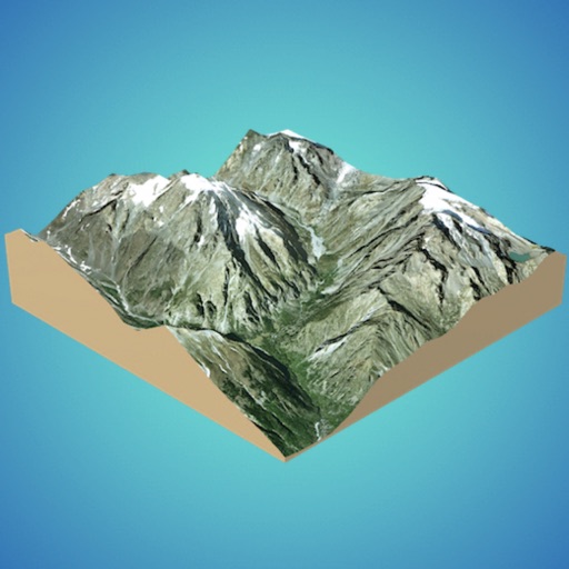
Create 3D models from online sources like Bing Maps or local cloud points. Export data as CSV, TXT, STL, or OBJ. Modify models by cutting, scaling, and animating. Calculate surface areas and volumes in real-world units.
Displays prayer times for Fajr, Dhuhr, Asr, Maghrib, and Isha with live countdowns. Automatically detects location or allows manual selection from 100+ countries. Shows Hijri and Gregorian dates.
The app calculates divination results using the sun and stars. It utilizes GPS to determine the user's location for calculating local solar time during divinations.
The app determines altitude using data from multiple GPS satellites. It allows users to capture dated photographs with altitude information, useful for navigation and emergencies.