

Apps Like FlyQ+ EFB for iPhone and iPad
Navigate with glide ring and weather briefing
Provides flight data management with downloadable weather briefings and dual data cycle support. It includes a glide ring for descent planning and a collapsible navlog for airway and procedure tracking.
FlyQ+ EFB screenshots
Ranked alternatives
Showing 181–200 of 1,000 ranked alternatives.

Space Simulator
Thetis Consulting
Explore the solar system simulation.
The app simulates a spaceship, its engines, and solar system planets. Users can explore space and observe Earth's rotation, with realistic terrain and textures based on NASA data.
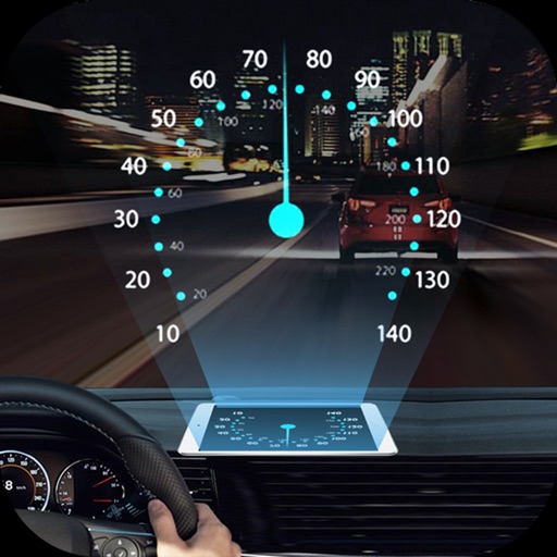
HeadUp Display car
Nikaan Nikzad
Project navigation info onto windshield
Projects speed, clock, weather temperature, cruise control, and now playing song information onto the windshield when iPhone is rotated and placed near the windshield. Displays data in landscape mode for easier visibility while driving.

Speedometer ••
MATRIKS GRUP, TOV
Track speed, get alerts, view speed limits
Display speed limits and alert for overspeeding. Show speed camera locations and distance. Provide average and maximum speed tracking. Include odometer and unit selection for KMH/MPH. Display current road name, weather conditions, and temperature.


Racing Weather
Stephan Monette
Track and calculate density altitude
View forecasts for race tracks and custom locations. Calculate Density Altitude, Grains of Water, and HP Correction Factor. Search or add race tracks manually. Track conditions for specific locations.
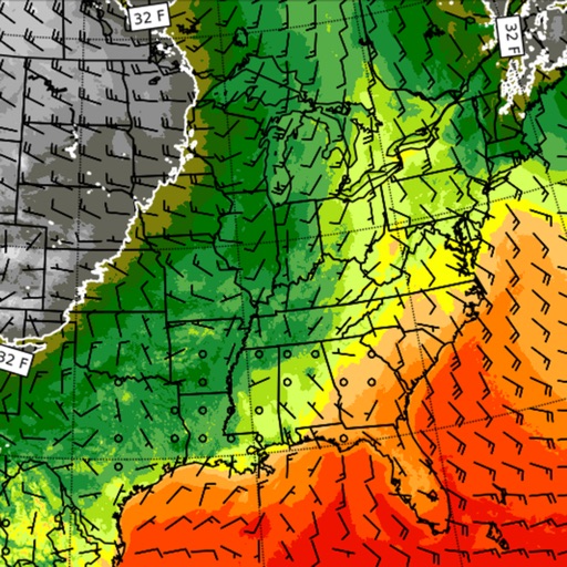

GPS Diagnostic: Satellite Test
David Ryall
GPS, track location, diagnose issues
Provides GPS navigation with fast lock time and precise parameters. Supports multiple systems including GPS, Galileo, GLONASS, and QZSS. Diagnoses location issues and suggests fixes. Includes latitude, longitude, and WGS84 by default.


Tracker For Virgin Atlantic
Fikret Urgan
Track flight details and aircraft models
Track Airways flights in real time. View flight paths, altitudes, and speeds. Receive notifications about departures and arrivals. Access aircraft details and pilot information. Share flight data with others.

UDOT Traffic
Utah Department of Transportation
Track and view road conditions
View real-time data on a map with zoom and scroll features. Check current conditions on Utah freeways and streets. See accident locations, road construction, and weather alerts. Get updates on special events impacting .

NOTAM Briefing (VFR/IFR)
Hermann Hoelter
Retrieve NOTAMs for flight prep
Pilots can retrieve information by defining departure and destination airports. Apply filters to narrow results. View NOTAMs in text format or on an interactive map. Translate NOTAMs into multiple languages.

Weather Alert Map PUSH
Elecont LLC
Severe weather alerts and tracking
The app provides real-time severe weather updates with instant push notifications and detailed radar images. Users can track storms, view forecasts, and receive alerts for various weather events and earthquakes.


Italy AIP and NOTAMs
Eugenio Scacchetti
Aeronautical Information Publication for Italy
The app provides aeronautical information for air navigation, including regulations and procedures for flying in Italy. Users can find charts, documents, aerodrome plates, and search for NOTAMs.

GPS Tools® - Find,Track & Trek
virtualmaze
Find location, track speed, view weather
Track location, speed, and altitude with real-time GPS data. Use a digital compass for direction. Access weather information and tag locations. Share coordinates and view maps.

Locary - Find Family Location
Papp Yazilim Hizmetleri Limited Sirketi
Track real-time locations of contacts
Track real-time locations of friends and . Receive instant alerts when contacts arrive or leave specific locations. Share updates with selected people. Set custom alerts for important places. View activity history and movement patterns.
How we rank alternatives
Apps are ranked by functional similarity, category fit, rating confidence, and popularity.