Distances, perimeters, and areas with high precision. Account for Earth's curvature. Share results via any sharing . Save and view measurements. Export data in various formats.
Measure speed of vehicles, boats, skiers, cyclists, and animals using motion detection. Track moving objects with a handheld device. Includes three speed measurement tools and two distance estimation tools.
Reader tool allows users to read and listen to books. Ruler tool measures length, breadth, and height of objects. Protractor tool measures angles of objects. Slope tool calculates the incline of structures. Activity track daily tasks and progress.
Measure angles of elevation, slope, and incline using device motion. Determine roll angles for vehicles and aircraft. Calculate roof pitch and antenna look angles. Align pictures and measure tape or chain slopes.
Distances on maps by tapping to add route points. Calculate length of roads, buildings, or areas. Get accurate calculations without needing existing routes or ground features.
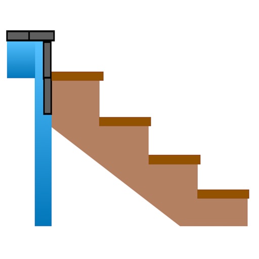
Calculate risers, run, angle, length, step height, tread depth, and number of steps. Adjust parameters for customization. Switch between Imperial and Metric units. Email or text results as needed.
Measure and display real-time frequency spectrum with Spectrum RTA. Calibrate monitor levels using the Level Meter. Determine optimal EQ presets with EQ Recommendation. Align monitors for accurate sound with Monitor Align.
Helps users align satellite antennas by selecting from four antenna types: offset, special design, parabolic, and flat. It guides users through four steps to adjust the antenna position for optimal signal reception.