

Apps Like Nav GC for iPhone and iPad
Calculate distance and heading along great circle.
The app calculates distance and heading along the great circle between two positions. It uses GPS for the start position or allows own input, and provides GPS speed and course.
Nav GC screenshots
Ranked alternatives
Showing 361–380 of 1,000 ranked alternatives.

Compass - GPS Altimeter
伟 雷
Navigate with real-time coordinates and altitude
Display current direction, altitude, latitude, and longitude. Show real-time barometric pressure and movement speed. Track geographic location. Switch between "Classic" and "Sunset" visual themes with premium color schemes.

Richta
David Bireta
Calculate time, speed, and distance for rallies
Calculate time, speed, and distance for road rallies. Input rally details and track progress. Generate reports and adjust strategies based on real-time data. Sync with GPS devices for accurate navigation.
NavTutor
DID Software Inc.
Learn aircraft holding pattern entries visually.
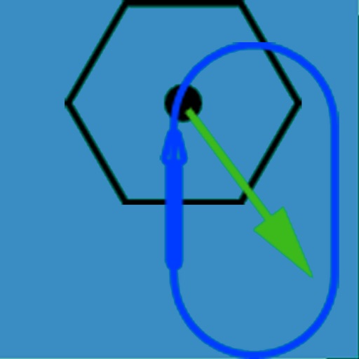
The app visually represents an aircraft and a holding pattern relative to a navigation aid. Users can learn to determine their position using ADF, VOR, and heading information, and identify correct entry patterns for standard and non-standard holds.


RouteBuddy Atlas - GPS Nav App for US and Worldwide Topo Maps
RouteBuddy Ltd.
Navigate with offline
Navigate with GPS featuring offline for USA, Great Britain, France, Ireland, New Zealand, Norway, Sweden, and Denmark. View detailed terrain features, set waypoints, and track routes. Download free demo to preview map quality.

Offline GPS Tracker & Compass
Gijsbertus Lamers
Track routes and monitor elevation
Record journeys without an internet connection. Track distance, elevation, and detailed statistics. Save locations for navigation. Review routes and monitor progress without requiring mobile service.

trip 3in1(compass, map, altimeter)
友杰 邱
Compass, map, and altimeter tool.
The app provides a compass for direction, a map for location and navigation, and an altimeter for measuring height above sea level. It also offers a sharing feature to send current positions with pictures and text to contacts.


GPS Maps & Driving Directions
Mudassar Ahmed
Navigate with real-time routes and 3D
Find routes with real-time traffic updates and voice-guided . View 3D aerial and use a digital compass for orientation. Plan trips with AI-generated itineraries and track progress toward destinations.

NRST
Toonsy Net
Airport information for any aircraft.
The app displays airport information including distance, field elevation, and required descent rate. It shows the user's current speed, course, altitude, and vertical speed, updating all data in real time.




My GPS Coordinates Lite
MYSTIC MOBILE APPS LLC
View in DMS, DDM, DD, and UTM
Display geographical in DMS, DDM, DD, and UTM formats simultaneously. Show altitude from GPS, network API, and barometer. Display GPS accuracy. Track position in real time.


ThaiTacGPS
Eggyothin Pila
Measure distance and bearing on maps
Display maps using GPS and MGRS coordinates. Measure distances and bearings between points. Save and share location data. View terrain and elevation details. Navigate with compass and grid alignment.


Family Locator & GPS Tracker
UAB MR Digital Group
Find friends, , and lost devices
Track and locate devices within a Circle. View real-time positions on a map. Share invitation codes to add contacts. Receive notifications when devices enter or exit designated areas. Set up geofences for specific locations.
How we rank alternatives
Apps are ranked by functional similarity, category fit, rating confidence, and popularity.