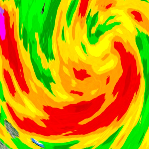
The app displays current weather conditions for Europe using satellite imagery and various weather models. Users can view and zoom into "IR" images, precipitating clouds, convective rainfall rate, and cloud top height models with animated playback.
by Stefano Caschi★ 1.01 ratingsWeatherFreeData updated 2026-10-29
View radar data with high-resolution images and forecasts. Track severe weather patterns and receive alerts. Access professional tools like Triple/Quad View Radar Visuals for detailed analysis.
View real-time animated images with color-coded precipitation. Check future forecasts and detailed data through interactive map layers. Access fire and air quality indexes. Identify freezing rain for road hazard warnings.
The app provides detailed wind and weather forecasts for over 160,000 locations. It offers real-time measurements from 21,000 weather stations and tide forecasts for over 20,000 locations.
Track hurricanes, cyclones, and tropical storms with interactive maps and real-time updates. View NOAA forecasts and satellite imagery. Search historical storms from 1851 or 1949. Receive push notifications for weather warnings.
View current weather updates multiple times per hour. Access high-resolution satellite imagery and 250-meter radar. See future radar for severe weather movement. Save favorite locations. Check daily and hourly forecasts from computer models.
The app provides worldwide weather details, including wind, precipitation, and wave data. It offers forecasts up to 16 days and can be used offline, with GRIB files downloadable via various connections.
View , wave, weather, and tide forecasts with detailed data. Find optimal spots based on conditions. Track forecasts for surfing, kitesurfing, fishing, and sailing. Post sessions, share publicly or privately, and interact with others.
View real-time maps showing precipitation types like , snow, and hail. Access detailed 24-hour and 14-day forecasts for any location. Receive severe weather alerts and track current conditions globally.
The app displays river stage height and flow rate for over 12,000 active gauges across the USA. It provides official flood warnings and alerts from the National Weather Service, with color indicators for river conditions.
View global weather data from GRIB files including wind, precipitation, pressure, temperature, waves, and more. Overlay weather information on custom map locations. Watch animated weather maps. Analyze trends and save data for later reference.
Access real-time weather data with high-resolution radar and satellite imagery. View current conditions and forecasts updated hourly. Add and save favorite locations. Track severe weather movement with future radar predictions.
View real-time radar and satellite maps to track storms and clear skies. Receive rain alerts and access hourly forecasts. Get local updates using location services. Display on home screen with a widget.
Receive severe weather alerts for tornado, hurricane, flood, thunderstorm, winter , and other dangerous conditions. View alerts via voice or push notification. Track progression and receive updates based on your exact location.
View current and forecasted weather for Italian cities and European locations. Check detailed forecasts for municipalities and tourist spots. Get real-time updates and historical data. Share weather information via email or social media.
View high-definition 3D globe and latest satellite imagery. Load map tile data for detailed terrain and urban features. Use oriental compass for direction. Access historical street view for past locations. Measure area and distance on .
Display current coordinates, address, county, and altitude for exact location. Scroll the map to navigate and track surroundings. Open the to instantly view position details.
The app provides live data and 15-day outlooks for thousands of areas in France and Europe. Users can access tide information, an interactive forecast map, and data from over 300 buoys and beacons.