Apps Like Deed Calls & Stakeout for iPhone and iPad
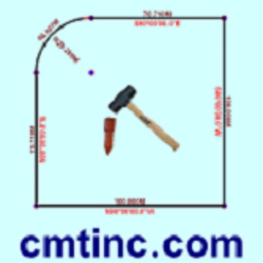
Convert property descriptions into maps.
The app converts real property descriptions into boundary maps, displaying angles, distances, closure error, area, and perimeter. It offers stakeout functions for deed plots and individual points, with optional navigation beeps and GPS toggling.
by Corvallis Microtechnology, Inc.★ 3.67 ratingsProductivity$24.99Data updated 2026-10-28
Create floor plans and layouts by drawing lines, rectangles, and shapes on up to 10 layers. Add text, arrows, and measurements. Export designs as PDF, JPEG, or DXF. Sync files via iCloud and transfer via DropBox.
Calculate using coordinates with options for square meters, feet, acres, hectares, kilometers, and miles. Measure distance between points. Premium users can save areas, add notes, attach images, and calculate prices based on values.
Distances, perimeters, and areas using GPS. Place markers on or objects. Share results with colleagues. Calculate quantities like spray or fertilizer needed. Export measurements for record-keeping.
, Keynote, and Numbers offer 100 professional designs. Users can create annual reports, plans, and meeting agendas. include legal documents, brochures, and cards. Customize layouts and export directly to Apple apps.
The app converts a phone or tablet into a diagnostic scan tool. It reads trouble codes, clears the check engine light, and displays real-time vehicle data.
Count zikr, wazifa, or dhikr with customizable counters. Track progress for Fatima or other wazifas. Include translations, meanings, and transliterations for each . Auto-count repetitions and display current count. Save and review daily progress.
Measure areas and calculate distances using GPS. Draw polygons on maps to calculate field areas. Save and share data. Access detailed maps and satellite imagery for accurate surveying.
Track routes, find waypoints, and navigate offline
Navigate outdoors with offline GPS maps and real-time augmented reality. Track waypoints and custom locations. Use a gyrocompass, speedometer, altimeter, and inclinometer. Find celestial bodies and measure angles.
Land areas using GPS and map data. Draw boundaries with swipes to calculate plot size. Save and view measurements. Share results via email or messaging. Sync with other devices for accurate tracking.
Generate full names, addresses, emails, and passwords. Select ages, countries, usernames, and pictures. Create fake male or female profiles with customizable personal details.