

Apps Like Mapillary for iPhone and iPad
Collaborative street-level imagery platform for everyone.
The app provides a street-level imagery platform that uses collaboration and computer vision. Users can capture images with any camera and contribute to a global street-level view for map improvement.
Mapillary screenshots
Ranked alternatives
Showing 741–760 of 1,000 ranked alternatives.

+15 Calgary Pathway Map
Mediumrare Inc.
Navigate Calgary's Plus 15 walkways.
The app provides a map of the Plus 15 walkway system in Calgary, Alberta, Canada. It includes GPS capability to help users navigate the system.

Garmin BaseCamp
Garmin International
Plan trips, edit waypoints, manage data
Manage geographic data and plan trips using map data. Transfer data to and from devices. Create and edit waypoints, routes, and tracks. Find addresses and points of interest. View maps in 2D and 3D. Display topographical information.



KickMap London Tube
KICK Design Inc
Clearer London Tube map with alerts
The app provides a London Tube map that does not require an internet connection. It includes live alerts for train delays and a GPS locator for the nearest station or line.

Private Tracker
64 Characters UG (haftungsbeschraenkt)
Track locations and export routes as GPX
Track location with GPS and view high-resolution OpenStreetMap maps. Export track data in GPX format with limited zoom and time restrictions in free mode. Use servers for data storage and avoid data collection.



Great Lakes HD Nautical Charts
Flytomap
Navigate with marine and outdoor maps
Navigate with offline marine, lake, and outdoor maps. Access worldwide satellite and terrain overlays. View local weather forecasts. Use NOAA, USGS, and DRG data for detailed charting.


StreetView Map : StreetWatcher
Takashi Suemitsu
Navigate with Street View guidance
Provides turn-by-turn navigation using Street View to avoid getting lost. Users can assess route safety and steepness before traveling. Save time and costs by previewing destinations without visiting them.


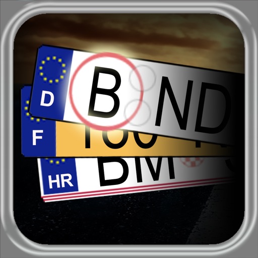
License Plate
Baliza GmbH
Discover car origin information quickly.
The app provides car license plate shortcuts for several countries, displaying registration region information and linking to maps. Users can search for plate keys and build a collection of seen plates, making it useful for road trips and quizzes.


iMelway Edition 47
Melway Publishing Pty Ltd
Navigate streets and find locations
Navigate Greater Melbourne with detailed street maps and over 2000 new listings. Access updated Ballarat maps not available in print. Search for addresses, businesses, and landmarks. Sync with Melway Street Directory for accurate local information.

Polis Assist
Polis Technologies, Inc
Find parking spots and navigate to them
Find parking spots using detailed street data. Navigate to locations and avoid tickets. Access free and paid parking options. Receive real-time updates on parking availability.
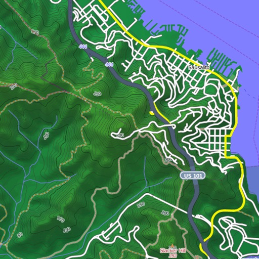
Mapster
Syzygy Research & Technology Ltd.
View maps, download trails, store routes
View and download detailed maps with topographical hillshading and contour lines. Store maps for offline use. Navigate using detailed terrain features. Find hiking trails, ski runs, and back streets.
How we rank alternatives
Apps are ranked by functional similarity, category fit, rating confidence, and popularity.