
Garmin BaseCamp
Plan trips, edit waypoints, manage data
Garmin International
iPhone Screenshots
Description
Manage geographic data and plan trips using map data. Transfer data to and from devices. Create and edit waypoints, routes, and tracks. Find addresses and points of interest. View maps in 2D and 3D. Display topographical information.
Garmin® BaseCamp® provides an interface for viewing Garmin map products and managing geographic data. With BaseCamp, you can perform the following tasks:
• Transfer data to and from your Garmin device.
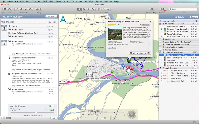
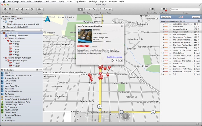
• Plan multi-day trips using Yelp® and your map data
• Create, view, edit, and organize waypoints, routes, and tracks.
• Find places, such as addresses, points of interest, and public land survey areas included in your detailed map data.
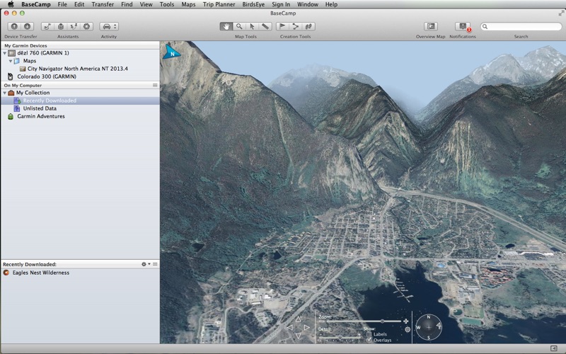
• View map data in 2D and 3D.
• View topographical information included in your detailed map data.
• Geotag photos with geographical location information.
• Print detailed topographical maps, PLS quads, and multi-page poster maps.
• Download and view BirdsEye™ satellite imagery and topographic raster maps.
• Import and view Garmin Custom Maps.
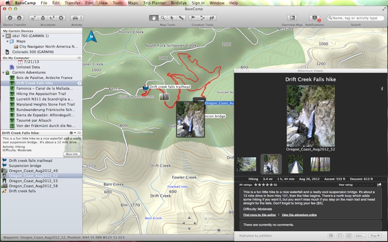
• Create, share and download Garmin Adventures (http://adventures.garmin.com)