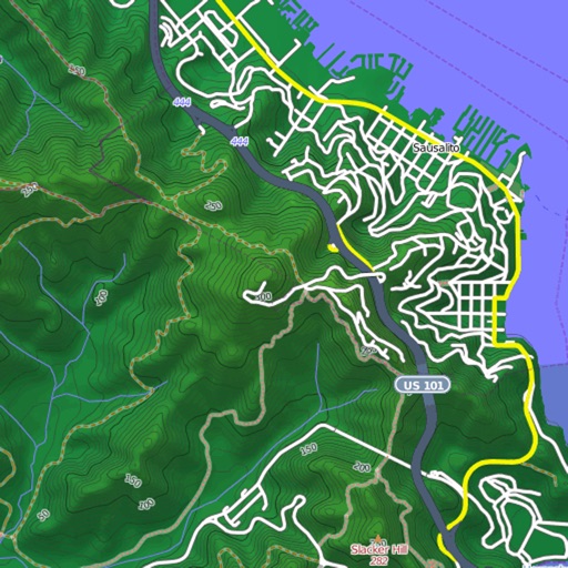
View and download detailed maps with topographical hillshading and contour lines. Store maps for offline use. Navigate using detailed terrain features. Find hiking trails, ski runs, and back streets.
by Syzygy Research & Technology Ltd.★ 4.915 ratingsNavigationFreeData updated 2026-09-08
Explore maps with detailed satellite views, hiking trails, and topography. Navigate transport networks and view railway routes. Access terrain analysis and seas. Customize map layers for OpenStreetMap and tile-based maps.
View detailed with offline access. Search for locations by address or category. Plan routes considering road preferences and vehicle size. Track inclines and record GPX tracks. Customize data access and privacy settings.
Explore outdoor routes and points of interest with layered maps. View IGN maps, aerial photos, and OpenStreetMap for hiking and . Access Spain and Swiss maps, emergency call coverage in France, and winter trail information.
Find trails with detailed GPS routes, elevation profiles, and interactive maps. View photos and expert insights for each trail. Search for hikes by location or area. Plan routes with suggested highlights and difficulty levels.
Navigate ski trails with GPS route data and elevation profiles. View interactive maps with photos and expert recommendations. Search for ski lines by location. Plan routes with detailed insights on difficulty and highlights.
Navigate with turn-by-turn directions for hikes and custom routes. Access topographic with contour lines and hill shading. Save hiking trails and routes for offline use. View detailed information about national park hikes.
Explore mountain biking trails with offline maps and GPS route details. View elevation profiles and interactive features. Access photos and expert recommendations for rides near you or in searched locations.
Create and collaborate on detailed maps using satellite imagery and 3D terrain. Explore cities with 360° Street View. Add annotations and share maps with others. Navigate streets and view neighborhood details.
Navigation provides offline global maps for iPhone and iPad. Users can draw routes, view elevation profiles, and access detailed terrain maps without internet. Hikers and cyclists benefit from specialized route networks and clear map details.
Navigation allows users to explore and select from various outdoor activities including hiking, running, biking, and more. Record custom routes on a map, add waypoints, and capture photos along the way.
Find trails suitable for hiking, biking, running, or walking. Filter by accessibility options like dog-friendly, kid-friendly, or stroller-friendly. Get turn-by-turn navigation and detailed trail information.
View detailed maps and get turn-by-turn navigation for driving, walking, and cycling without requiring an internet connection. Access preloaded travel guides for hundreds of destinations to plan trips efficiently.
Explore parks with interactive maps, self-guided tours, and on-the-ground information. Download parks offline for use without internet. View trails, points of interest, and essential details.
Find runs with GPS routes, elevation profiles, and interactive maps. View photos and expert insights for each . Search for runs by location or area. Plan routes with detailed guidance and highlights. Sync with maps for offline navigation.
View and navigate USGS and satellite imagery. Download for offline use. Track hiking routes and save locations. Access detailed terrain and elevation data.
View interactive maps of trails. Search and filter by activity, length, location, and amenities. Plan routes for snowmobiling, ATVing, biking, hiking, and cross-country skiing. Access trail details and navigation features.
Find and explore walking, hiking, jogging, and outdoor fitness trails with detailed maps, GPS navigation, and trail guides. View user reviews, photos, and expert tips. Plan routes and track progress with real-time location updates.
Plan outdoor activities by accessing HD topographic maps and reports. Navigate with GPS tracking and toggle map layers to view hazards. Scout new trails for hiking, skiing, mountain biking, or climbing. Save and share route data offline.