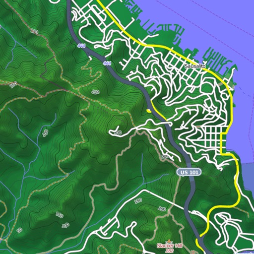
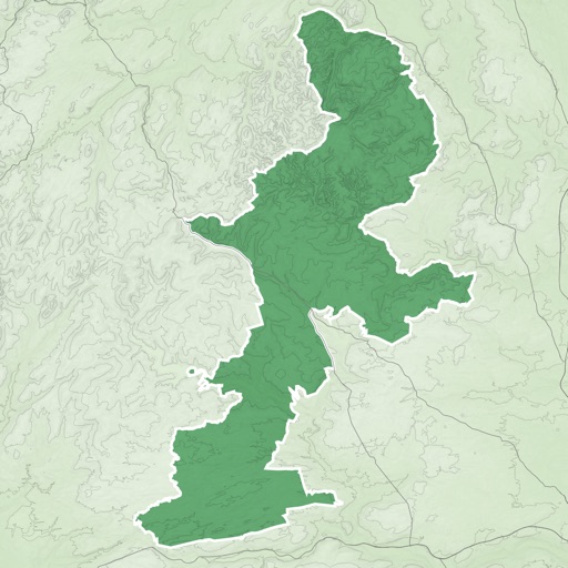
View detailed maps of Norway with accurate trails, sea routes, and city navigation. Search locations and addresses. Use GPS for auto-rotating maps and compass. Download maps for offline use. No advertisements.
by Norgeskart AS★ 4.848 ratingsNavigationFreeData updated 2026-09-08
Metro maps with detailed route planning and GPS navigation. View English and Chinese station names. Access offline maps and real-time metro lines. Plan routes with interactive street maps.
View global weather data from GRIB files including wind, precipitation, pressure, temperature, waves, and more. Overlay weather information on custom map locations. Watch animated weather maps. Analyze trends and save data for later reference.
Provides detailed subway maps with English and Chinese language support. Displays real-time metro lines and stations. Includes route planning, GPS navigation, and offline functionality. Offers street maps for navigation.
View and download detailed maps with topographical hillshading and contour lines. Store maps for offline use. Navigate using detailed terrain features. Find hiking trails, ski runs, and back streets.
Panoramic 360-degree images for navigation. Pan around locations using GPS to find directions. Access live views and satellite maps for real-time positioning. Track routes and receive turn-by-turn guidance.
Save and share precise GPS globally. Create and manage location pins with detailed descriptions. Receive real-time updates on shared locations. Set custom visibility settings for location sharing. Sync locations across devices for easy access.
Plan trips with detailed maps and points of interest. Explore hiking trails, biking routes, and horseback riding areas. View wildlife information and local attractions. Book accommodations and access event calendars.
Allows users to browse , search locations, save favorites, and use turn-by-turn . Premium subscription enables traffic-aware routing, activity recording, offline , and elevation map views for terrain clarity.
Navigate using vector maps with unlimited zoom. Plan and share routes. Import and view points of interest. Synchronize with a trip-planning site. Track location without cellular reception.
With offline access. Access beginner and intermediate lessons. Progress from basics to advanced levels. Choose classes for kids or adults. Practice language skills through structured lessons. Track learning progress.
Navigate mountain bike trails with real-time GPS-triggered audio guidance. Listen to trail insights and directions directly through headphones. Receive turn-by-turn navigation without needing to check a map.
Book hotel stays in Norway, Sweden, Denmark, Belgium, and the Netherlands. View all past and upcoming reservations. Receive mobile notifications about your stay. Get the price and benefits when booking through the or website.
Plan trips to parks with downloadable and guides. Access over 100 parks, state parks, and monuments. View 170+ from government agencies. Find 1,000+ campgrounds and campsites. Includes motor vehicle use and visitor for national forests.
Provides detailed subway maps for with BTS and MRT lines. Includes route planning, GPS navigation, and street maps in English and Thai. Works offline. Displays all stations and future expansions.
3D maps and views of locations. Track real-time location with traffic data. Calculate distance from home. Plan routes and explore famous sites. Find directions and covered area during navigation. Use 3D world map for trip planning.