
BigMap
Corvin Hartmann
View maps, search locations, customize settings
View maps in three different styles with six customizable settings. Long press to access map options. Search for locations and streets. Navigate with fullscreen map interface.

Navigate Norway with offline maps
View detailed maps of Norway with accurate trails, sea routes, and city navigation. Search locations and addresses. Use GPS for auto-rotating maps and compass. Download maps for offline use. No advertisements.
Showing 141–160 of 1,000 ranked alternatives.
Corvin Hartmann
View maps, search locations, customize settings
View maps in three different styles with six customizable settings. Long press to access map options. Search for locations and streets. Navigate with fullscreen map interface.

EXPANSE LLC
Navigate with accurate metro maps
Plan routes with detailed directions, travel time, and fare info. View accurate metro maps and station details. Use offline mode for no internet access. Switch between 11 languages.

Nalin Savaliya
Navigate with 3D and traffic updates
Real-time 3D maps with GPS navigation. Access HD views for current locations and addresses. Get driving directions and traffic updates. Receive voice-guided routes for navigation. Sync with global earth map for location-based insights.

UAB FlowTech Pro
Navigate with real-time traffic updates
Navigate with truck-specific GPS routes that avoid low bridges and restricted areas. Access real-time traffic updates and offline maps. Find parking locations and weigh stations. Communicate via a driver-to-driver walkie-talkie feature.

CHENGDU MIAOZHI TECHNOLOGY CO., LTD.
Track location with GPS data
Track routes for hiking, running, cycling, and other activities with GPS. View recorded paths on maps. Save favorite locations for quick access. Measure distance, speed, and elevation. Export data in various formats.


Pavel Vorontsov
Navigate with GPS and saved points
Navigate using a GPS to any saved location. Save current position, input coordinates manually, or extract GPS from photos. View saved points history and export coordinates to Google or Apple Maps.

Sichtwerk AG
Measure altitude with GPS and barometer
Calculate altitude using GPS, ASTER, or barometer (iPhone 6 and later). Display average altitude from GPS and ASTER data. Show peaks, compass, and distance grid on an integrated map. Support Apple Watch. Choose unit of measurement.

Visitnorway AS
Discover Norway's attractions and experiences.
The app offers thousands of places to stay, restaurants, activities, attractions, and experiences. It is suitable for planning trips and getting tips during a journey.

Oanh Hoang
Capture photos with GPS location
Capture photos with GPS, date, and time tags. View live cameras from various locations. Explore 360-degree panoramic images. Navigate using an interactive 3D Earth map. Check real-time traffic and travel updates.


Electronic Chart Centre AS
Maps and charts for land and sea.
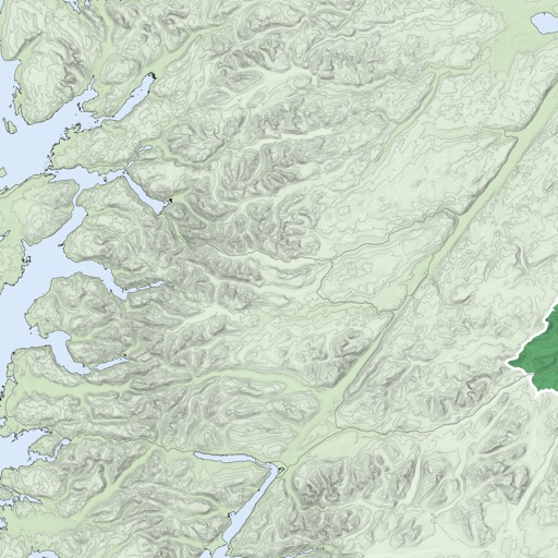
The app provides map display for land and sea with multiple map layers including OpenStreetMap and Apple Maps imagery. It offers features like offline map data, places of interest search, and waypoint management with GPX file support.


Beijing Xihang Technology Co., Ltd.
Routes and build maps
Daily routes with automatic GPS logging. View personalized maps of traveled paths. Highlight locations visited. Save and revisit favorite spots. Share trip data with others. Sync across devices for continuous tracking.

Juan Manuel Merlos
Track routes, add waypoints, save maps
Create GPS traces with waypoints and save them as GPX files. Use offline maps for navigation without time limits or ads. Share track data and contribute to Street Map. Keep routes private and edit existing traces.
Apps are ranked by functional similarity, category fit, rating confidence, and popularity.