

Apps Like NMEA GPS Tether for iPhone and iPad
Share GPS data between compatible devices.
The app shares and tethers NMEA GPS data between compatible devices over a WiFi network. It displays location data from another device's GPS on the user's iPad.
NMEA GPS Tether screenshots
Ranked alternatives
Showing 621–640 of 1,000 ranked alternatives.

ThaiTacGPS
Eggyothin Pila
Measure distance and bearing on maps
Display maps using GPS and MGRS coordinates. Measure distances and bearings between points. Save and share location data. View terrain and elevation details. Navigate with compass and grid alignment.


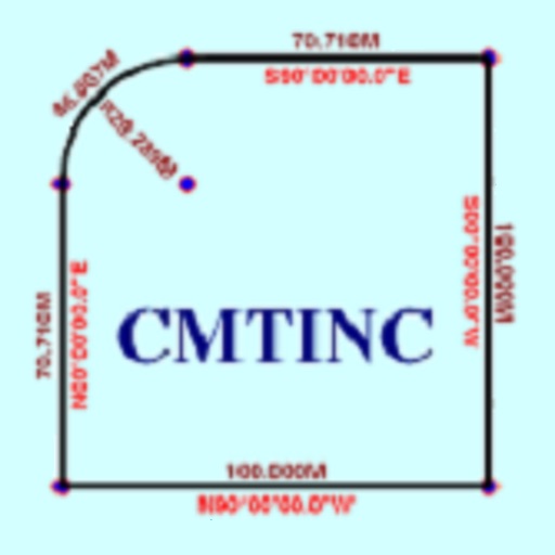
Deed Calls - Area - Perimeter
Corvallis Microtechnology, Inc.
Convert property descriptions into maps.
The app converts real property descriptions into boundary maps. Users enter angles and distances to draw property boundaries, displaying closure error, total area, and perimeter.


SOS Pro by Automagi
AutoMagi Ltd
Set up alarms in 5 minutes
SOS Pro allows users to set up an alarm system in 5 minutes. It provides outdoor localization via triangulation using Wifi, GSM, and GPS. Indoor positioning is achieved through wifi fingerprinting, requiring manual mapping of the area.

Live Earth Map Tracker
Ladkunvar Ahirwar
Explore real-time satellite views
View real-time satellite imagery of any location. Explore 3D terrain and interactive street views. Track location and receive traffic updates. Navigate with detailed maps and location-based information.


Trak4
Trak-4, Incorporated
Track vehicles and assets in real-time
Track vehicle and asset locations in real-time. Set geofences to receive alerts on movement or boundary crossings. View historical data and receive notifications for activity changes. Monitor equipment and valuable items remotely.





CarLost
Bryan Oswaldo Gomez Perez
Save parking location and share photos
Save parking locations with GPS or map input and add photos for reference. Retrieve saved locations to navigate to your vehicle using maps and photo guidance.
How we rank alternatives
Apps are ranked by functional similarity, category fit, rating confidence, and popularity.