Track location with GPS and view high-resolution OpenStreetMap maps. Export track data in GPX format with limited zoom and time restrictions in free mode. Use servers for data storage and avoid data collection.
by 64 Characters UG (haftungsbeschraenkt)★ 4.216 ratingsNavigationFreeData updated 2026-09-08
The app records boat trips with GPS position, course, speed, and duration. Users can log weather, crew, boat details, and incidents, with access to speed and distance statistics.
Track and analyze history to map movement patterns. Create detailed maps of visited places. Store data locally on the device without sharing it with third parties. View activity logs and travel details privately.
Navigate with detailed vector maps that support zooming at any level. Find locations and points of interest. Avoid roaming charges by using the without an internet connection. Save data by disabling background updates.
Navigate using a 3D topographic map of the USA and Hawaii. Access offline vector maps for navigation in vehicles or outdoors. Switch to online maps for global coverage with automatic caching. Explore locations with zoom and scroll features.
Navigate with detailed vector maps that support zooming at any level. Find locations and points of interest. Avoid roaming charges by using the without internet. Track your position and explore areas without data usage.
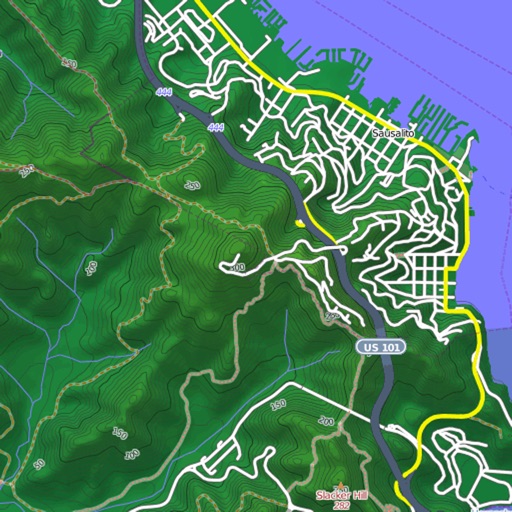
View and download detailed maps with topographical hillshading and contour lines. Store maps for offline use. Navigate using detailed terrain features. Find hiking trails, ski runs, and back streets.
Import GPX files to view and follow routes on maps. Navigate trails, tracks, and paths with turn-by-turn directions. Save and share custom routes. Adjust map settings for different terrain types. Sync with fitness devices for real-time tracking.
Plan and navigate off-road trails with detailed maps and turn-by-turn directions. Mark favorite routes and track progress. Share data and receive real-time updates on conditions. Sync with GPS devices for accurate navigation.
Record routes for walking, running, or traveling. Manually adjust positions along the . Add GPS coordinates to photos without using photo editors. Track movement and save location data for later reference.
Turn your iPhone or iPad into an outdoor GPS or marine chart plotter. Use detailed Topo maps or NOAA marine charts for navigation. Access maps offline without a network connection. View GPS location without mobile signal.