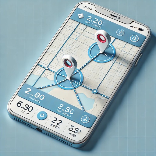
Calculate areas between map pins. Create and move pins to adjust the . Locate yourself and add pins with one click. Search for places. Save and load data. Choose between standard, satellite, and hybrid map views.
Plan routes and view property details offline. Add homeowner notes and set reminders. Schedule follow-ups and receive notifications. Manage leads with a simple pipeline. Knock doors without internet access.
The app calculates the shortest distance or distance with a constant bearing between two locations. Users can select current location, enter coordinates, or choose from a database.
The app records trips and displays tracks, position, and live information like speed and altitude. It measures distances, surface areas, and perimeters by placing points on the map.
The app records GPS latitude and longitude. Users can edit location names and descriptions, view all recorded information on a list or map, and export data in multiple formats.
Track current with coordinates, altitude, and address. via Facebook, Twitter, Mail, Message, or copy to paste elsewhere. Use compass mode to determine direction. Toggle between Standard and Hybrid map types.