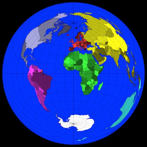
View and convert geographic across multiple formats and datums. Manage locations with an intuitive interface. Display current location at the intersection of two grey lines. Export in various global systems.
Users can view and convert coordinates between multiple datums including WGS84, NAD27, and GDA94. Input locations manually or via GPS. Select source or target coordinate systems for conversion. Display locations on an embedded map.
Learn to construct cross sections of polyhedrons using step-by-step instructions. Study 12 subjects and complete 105 tasks ranging from basics to challenges. Solve geometric puzzles and explore 35 terms in a glossary.
The app calculates distances, areas, and circumferences using algorithms that account for the Earth's curvature. It also converts position coordinates between different coordinate systems and supports various geodetic datums and projection methods.
Learn to sketch 2D and 3D views through 10 structured lessons. Practice orthographic projections, 3D object rotations, and flat pattern creation. Complete assignments to improve visualization and technical communication skills.