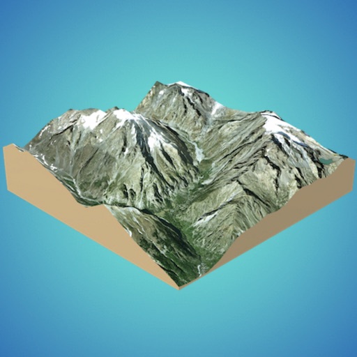
Navigation allows users to view detailed maps with higher resolution and more street names. Display four times more map content on the screen. Includes sharper satellite imagery and points of interest. Adjust map scale for comfort.
by Janne Kaki★ 4.7373 ratingsNavigationFreeData updated 2026-09-08
Create and manage full-stack web applications with collaborative AI assistance. Generate code snippets, debug issues, and deploy apps. Integrate with version control systems and cloud platforms. Collaborate in real-time with team members.
Create 3D models from online sources like Bing Maps or local cloud points. Export data as CSV, TXT, STL, or OBJ. Modify models by cutting, scaling, and animating. Calculate surface areas and volumes in real-world units.
Lets users overlay photos on Apple Maps for real-time navigation. Photos rotate and scale with movement. Users can track GPS paths, tag locations, and mark waypoints.
The app provides real-time imaging satellite overflight notifications and on-demand access to recent high-resolution satellite images. Users can request an imaging satellite to capture a new picture.
Track Ethereum and Ethereum Classic mining stats with real-time updates from ethermine.org pools. View detailed charts for specific addresses, reset charts to start fresh, and compare historical over time.
View and analyze geographic data offline without GIS software or training. Download topographic, street, and satellite maps. Import ESRI Shapefiles and KML/KMZ files. Display attribute fields like descriptions, photos, addresses, and dates.
Create 3D scans using photogrammetry and lidar. Adjust scale with April Tags for real-world measurements. Export data in e57 format for analysis. Process data locally or in the cloud without internet transmission.
Access satellite imagery and geospatial data for real-time analysis. Select location, sensor, and date to retrieve archived images or task satellites. Receive automated analysis for applications like crop health, deforestation, and wildfire tracking.
The app pairs with an inReach device to send messages, navigate, and track locations. It provides offline maps, aerial imagery, and trip logging for outdoor adventures.
Navigate campus and Champaign-Urbana area with real-time bus data. View stops near you, live departure times, and bus locations. Access route details and a map of all CUMTD stops. Track bus movements and plan trips using up-to-date information.
Save from the web to the camera roll. Edit by adjusting speed, background, and filters. Crop, scale, and convert to video. Share to or save to the camera roll. Open edited in video editing apps.
Plan trips with detailed guides, street and public transport maps, and daily itineraries. Find nearby and activities. Use augmented reality to view points of interest. Get local recommendations and read trusted reviews.
View detailed navigational charts offline with multiple overlays. Access real-time data and historical information. Plan routes and track progress. Set waypoints and measure distances. Sync with other devices for collaborative navigation.
The app provides an up-to-date subway map of Singapore, working offline with a route planner and GPS. It includes English and Chinese language options and street maps for every station.
Display current location using GPS, GALILEO, and GLONASS. View position on various map layers. Import and export KML files. Navigate with coordinate systems. Track movement during outdoor activities.
View live along routes. Create custom camera groups for frequent paths. Quickly access on your route. Stream live camera feeds. Add camera widgets to home screen. Display winter driving weather conditions.
Coordinates can be viewed and shared via decimal degrees, degrees-minute-seconds, degrees-minute-decimal, UTM, and military grid systems. Users can tap a map to retrieve coordinates and directions.
Navigate using a 3D map with interactive routes. real-time imagery of any location. Calculate distances and areas between points. Explore landmarks and locations globally.
View boundaries, parcel data, and land information using GPS. Check ownership details, lot lines, and classifications. Access nationwide coverage and accurate positioning for real-time land verification.