The app provides real-time imaging satellite overflight notifications and on-demand access to recent high-resolution satellite images. Users can request an imaging satellite to capture a new picture.
by Orbit Logic Incorporated★ 3.170 ratingsUtilitiesFreeData updated 2026-10-19
3D maps with high-resolution terrain details. Track real-time GPS locations. Explore satellite imagery and active satellite data. Navigate through cities and rural areas with detailed landscape visuals.
View satellite imagery updated in near real-time. Track hurricanes, storms, and severe . Monitor wildfires and smoke. Explore current and forecasts for rain, wind, temperature, and pressure. and interact with global maps.
View current conditions and hourly forecasts for Albuquerque, Santa Fe, and New Mexico. Access interactive radar with 250-meter resolution. Track live storms and receive alerts based on saved or current locations.
Plan and manage satellite by analyzing economic, technical, and social factors. Simulate mission scenarios, optimize system performance, and evaluate launch strategies for different orbit altitudes.
View rocket launch schedules and track orbital missions. Access 3D simulations and live playback of launches. Explore a catalog of past rocket launches. Follow Starship activity at Boca Chica. Check live countdowns, latest news, and upcoming events.
Displays current with minimum and maximum temperatures. Shows 72-hour and 10-day forecasts for global cities. Automatically detects location. Includes animated satellite maps with wind, rain, temperature, and cloud layers.
Manage GPS tracking for vehicles, valuables, and people. View real-time locations, receive alerts, and access historical data. Set up tracking profiles and monitor multiple devices from a single account.
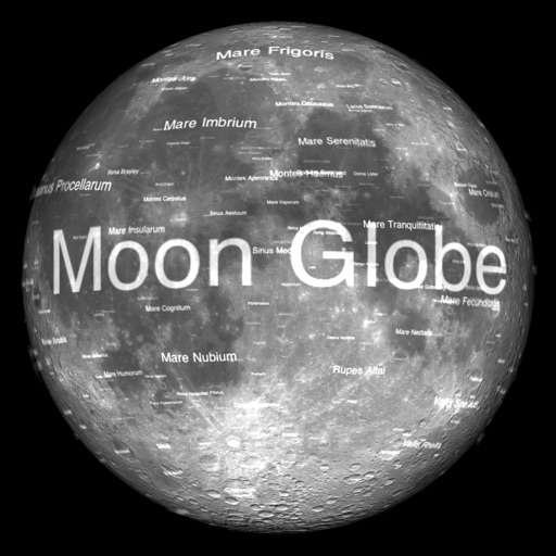
The app renders the Moon in realtime 3D using satellite imagery and topographic data. Users can manipulate the view, adjust sunlight, and see labeled terrain features and spacecraft.
Navigation allows users to view detailed maps with higher resolution and more street names. Display four times more map content on the screen. Includes sharper satellite imagery and points of interest. Adjust map scale for comfort.
Monitor fields using satellite imagery for prioritized scouting. Track crop management records and sync data automatically, including offline access. Add notes and photos. Create management zones and sample records.
View real-time radar and satellite maps to track storms and clear skies. Receive rain alerts and access hourly forecasts. Get local updates using location services. Display on home screen with a widget.
Monitor weather conditions along your route with real-time , TAF, and SIGMET data. Access satellite imagery, radar, and 3D terrain. View NOTAMs and historical data for offline reference. Track storm warnings and flight visibility reports.
View satellite aerial images of your location with one-tap access. Zoom in up to 32x using full-sensor resolution for clear, detailed images. Capture and save high-quality photos with real-time zoom and stabilization.
Explore with high-resolution maps and topographic details
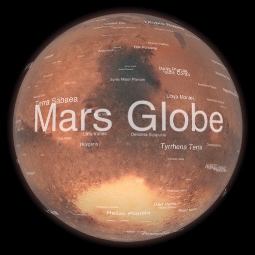
Explore a high-resolution 3D model of with topographic lighting and satellite data. Navigate the surface, view annotated features, and access information links. Take a guided tour or explore freely.
The app provides live satellite imagery for various regions, including North America and Europe. It tracks storms worldwide with precise projected paths and detailed forecasts, offering a complete view of weather conditions.
The app provides North American weather imagery, allowing users to animate it at their own speed. Users can swipe backwards for satellite photos and forwards for a week of forecast images showing upper air features and precipitation.
Displays satellite positions as a red dot over the camera view. Guides users to align satellite dishes by showing direction and distance to the selected satellite. Alerts about obstructions between the user and the satellite.