Monitor and control boat systems with real-time data display. Connect to NMEA 0183, Navico MFDs, NMEA 2000, Victron, and Chetco devices. Customize dashboard layouts. View engine status, position, and sensor readings.
Track , distance, and max with a digital . View current city and switch between MPH, KM/H, and knots. Log average and max . Display map view and odometer readings.
Track real-time bus locations and receive arrival updates. Plan routes and stops using maps and schedules. Save frequently used routes for quick access. Set custom alerts for bus arrivals or delays.
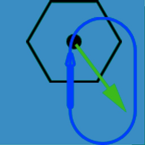
The app visually represents an aircraft and a holding pattern relative to a navigation aid. Users can learn to determine their position using ADF, VOR, and heading information, and identify correct entry patterns for standard and non-standard holds.
Vehicle with GPS for cars, bikes, and boats. Display in mph, km/h, and knots. Use analog ranges for different vehicle types. Monitor odometer readings for distance traveled.
Calculate air , altitude, and other aviation-related metrics using temperature, altitude, humidity, and atmospheric pressure. Input data can be sourced from GPS, weather stations, or entered manually.
The app records user activity including location, heading, and motion. It saves this information as GPX data and allows playback at recording speed or with fast forward.