The app provides real-time Sun and Moon data, including sunrise, sunset, moonrise, and moonset times globally. It features a time-chart and interactive map for accessing celestial data and exploring seasonal shifts.
The app provides mapless navigation using GPS and compass data. It allows users to drop markers, search for destinations by address or placename, and view locations on a map.
Create custom maps with icons, colors, ratings, and tags. Add photos with notes and organize visits by date. Save maps to iCloud Drive, Dropbox, Google Drive, or email for sharing. Import data via CSV files from Excel or Numbers.
The app displays built-in device sensor values including acceleration, heading, pressure, position, altitude, and speed. It also retrieves location name and elevation from GeoNames, and local weather data from World Weather Online.
LogGPS records GPS data including coordinates, altitude, speed, and accuracy when the save button is pressed. Users can add notes, edit or clear them between saves. Data is stored with timestamps and can be reviewed later.
The app provides a worldwide repeater directory with comprehensive search and sorting capabilities. It displays distance, heading, and full repeater details without requiring a network connection.
Create routes for running or walking by tapping on the map. Calculate distances and areas on the map. Plot routes and get automatic directions. traveled and save route data. Sync with fitness trackers for step and tracking.
The app provides two-way communication with community safety officials via text, picture, video, and audio. It offers a SafeWalk feature to virtually walk friends and family home and includes a safety map with key locations.
Find locations aligned with life goals like love, career, and vitality using planetary and paran lines. Explore themes for relocation insights. Navigate an interactive 3D globe with city markers and precise celestial lines.
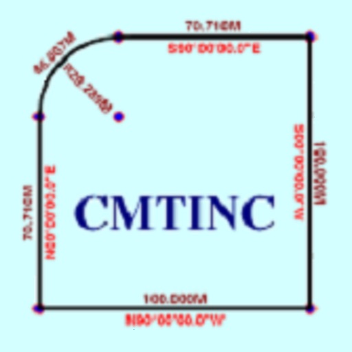
The app converts real property descriptions into boundary maps. Users enter angles and distances to draw property boundaries, displaying closure error, total area, and perimeter.
Receive location data via email and map it automatically. Visualize GPS coordinates with a radius overlay. Get notifications for location updates. Share mapped locations with others. Set custom radius sizes and track movement patterns.
Create and manage custom circles on Google Maps with precise mile measurements. Add markers and save locations for real estate, delivery, or business planning. Export map data and share visualizations for location-based analysis.