Apps Like Good Earth:Stay ConnectedEarth for iPhone and iPad
Track location and view coordinates
Track location with live coordinates and altitude. Convert GPS data to readable addresses. Monitor speed and heading for motion tracking. Access real-time environmental data for navigation.
by 荐 梁★ 5.02 ratingsNavigationFreeData updated 2026-09-06
Determine current position using the Swiss Coordinate System . Display Swiss Ref, WGS84 Latitude, and Longitude. Show device-reported accuracy. Share coordinates via text, email, or clipboard.
Track elevation and location using AI-powered and GPS. Access real-time weather forecasts based on barometric pressure. Use compass for direction and calculate sunrise/sunset times. View POIs and integrate with AI chatbot for contextual information.
View tide and current predictions based on official NOAA data. Search for stations by name or location. Save favorites for quick access. Explore interactive charts for detailed information. Set alerts for specific conditions.
Manage altitude with customizable VNAV settings for precise control. Set altitude alerts and use ALT HOLD mode for minimal setup. Track vertical navigation parameters and adjust flight paths accordingly.
Receive current coordinates and manage location data. Locate nearby places based on coordinates. Share coordinates via SMS, email, or copy-paste. Search for nearby locations using coordinate input.
Create and manage travel tracks with waypoints. Import and export maps in .gpx format. Use with unlimited storage. Access background barometer and pedometer data. Display color gradients for speed and height.
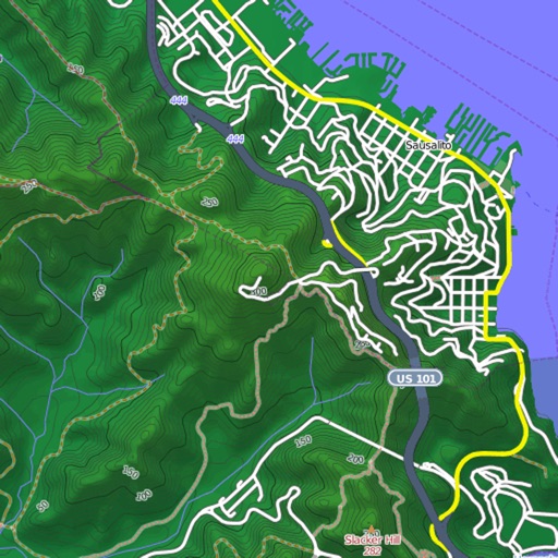
View and download detailed maps with topographical hillshading and contour lines. Store maps for offline use. Navigate using detailed terrain features. Find hiking trails, ski runs, and back streets.
Provides forecasts for any location. Displays real-time data and accurate predictions. Tracks conditions for boating, sailing, surfing, and other -dependent activities. Automatically detects location using device settings.
Display geographical in DMS, DDM, DD, and UTM formats simultaneously. Show altitude from GPS, network API, and barometer. Display GPS accuracy. Track position in real time.