

Apps Like Good Earth:Stay ConnectedEarth for iPhone and iPad
Track location and view coordinates
Track location with live coordinates and altitude. Convert GPS data to readable addresses. Monitor speed and heading for motion tracking. Access real-time environmental data for navigation.
Ranked alternatives
Showing 461–480 of 1,000 ranked alternatives.

GPS Map
n3rds GmbH
Search locations and share maps
Search locations using addresses or GPS coordinates and save them. Share bookmarks with others or send to multiple map apps. Access map overlays from Google and OpenStreetMap.



Spin-a-Wind
Leonard Robinson
Calculate wind components and airspeeds
Calculate wind components, temperatures, altitudes, and airspeeds. Input runway number, wind direction, and speed. Determine headwind, tailwind, and crosswind values. Adjust for parallel runways based on magnetic heading.

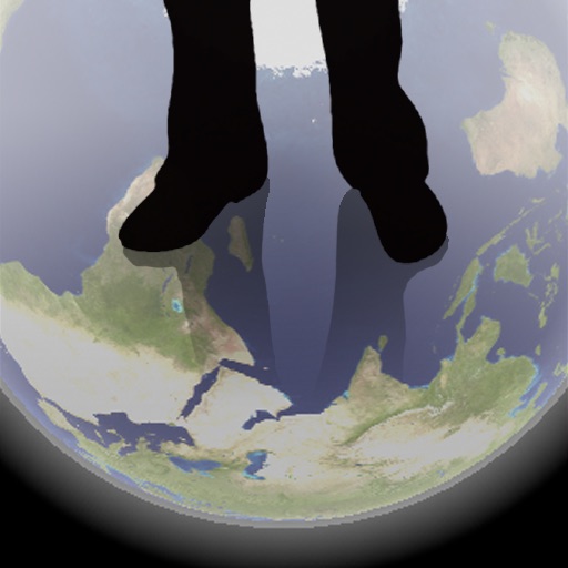
Transparent Earth -See the other side of the earth
Makoto Sato
See through the earth's surface.
The app shows a transparent view of the earth, allowing users to see the other side of the world beneath their feet. It displays the positions of major cities on a reversed blue marble through a camera overlay view.


Live Earth Map: Street View
Sanket Rola
Track locations in real-time 3D
3D maps with high-resolution terrain details. Track real-time GPS locations. Explore satellite imagery and active satellite data. Navigate through cities and rural areas with detailed landscape visuals.

GPS Fleet Management Systems
VISHNU PALAZHI
Track vehicles in real time
Track vehicles in real time using GPS. View location updates, monitor movement, and receive alerts. Manage fleets, track school buses, and oversee assets. Set up employee schedules and access vehicle data remotely.


iHikeGPS : Classic Topo Maps
James Associates Inc.
Navigate with topographic and GPS
Track location and movement with GPS. View USGS, US Forest Service, and Canadian . Log trails and waypoints. Navigate offline in areas without cell signal. Display elevation and terrain details. Share route data and historical tracks.


Geo Elevation: Path Analyzer
ObjectGraph LLC
Elevation profile of any path.
The app analyzes terrain elevation for any path worldwide. It displays elevation profiles with key data and renders the ground in 3D.

The Location App
Ferdinand Rios
Display data on a map
Display current with GPS coordinates, closest address, What3Words identifier, and Google Plus Code. Tap data to share via text message, email, or social media.


Venue Map for foursquare
Kosuke Ogawa
Find venues, tap to view info, launch
Map displays locations globally on a map. Search venues by keyword. Tap icons to view details. Launch or Swarm apps for more options. Show current coordinates and act as a GPS receiver.
GPS Coordinate Recorder
建武 张
Record, share, and view GPS locations.
The app records GPS latitude and longitude. Users can edit location names and descriptions, view all recorded information on a list or map, and export data in multiple formats.
How we rank alternatives
Apps are ranked by functional similarity, category fit, rating confidence, and popularity.