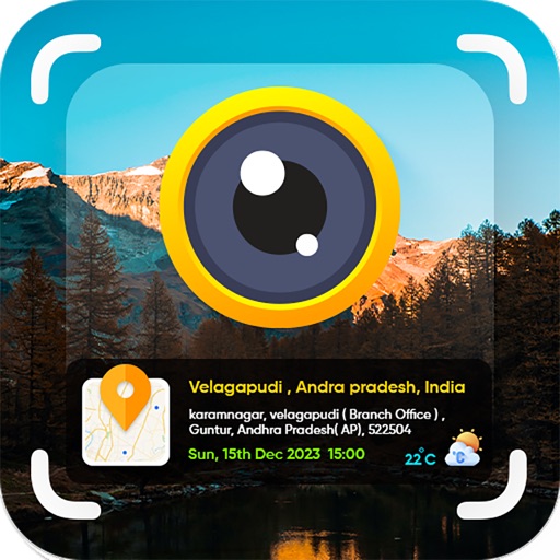
Capture photos and videos with GPS location and timestamp stamps. Adjust exposure, focus, and white balance. Edit images with cropping and filters. Share media directly with location data embedded.
Capture photos and videos with real-time timestamps
Capture photos and videos with real-time , date, and location stamps. Add live maps, altitude, and addresses to media. Edit timestamps and view geolocation data. Share stamped media with precise metadata.
Take photos and embed GPS location data. Add latitude, longitude, date, and time. Shoot videos and include watermarks. Add altitude and magnitude information. Share location-based content with others.
Navigation allows users to view and share GPS coordinates in six formats. It includes a , altitude, distance, and sunset/sunrise tracking. Users can set and edit waypoints with photo or audio notes.
Add accurate date, time, and GPS watermark to photos and videos. Sync with network time for real-time stamps. Edit watermarks manually. Share files with location data preserved.
Capture and organize timestamped photos and videos
Timestamped and video records accurate date, time, and GPS location. Add map, weather, notes, company logo, job tag, or altitude. Anti-tamper features ensure photos remain unaltered. Use for check-ins, clock-in/out, or tracking site progress.
Display current coordinates, address, county, and altitude for exact location. Scroll the map to navigate and track surroundings. Open the to instantly view position details.
View and edit for photos and videos. Display location data, camera model, aperture, shutter speed, ISO, and other tags. Remove or modify fields. Manage file names and timestamps.
Track altitude, elevation, and GPS coordinates. Monitor speed in km/h or mph. View compass direction. Check GPS signal quality. Log location for outdoor activities like running, mountaineering, or traveling.
Add geo stamps to photos with real-time location data. Apply date and GPS coordinates. Insert precise map location stamps. Geo tag photos from gallery or camera. Create detailed geo tagged collections.