Track routes, find waypoints, and navigate offline
Navigate outdoors with offline GPS maps and real-time augmented reality. Track waypoints and custom locations. Use a gyrocompass, speedometer, altimeter, and inclinometer. Find celestial bodies and measure angles.
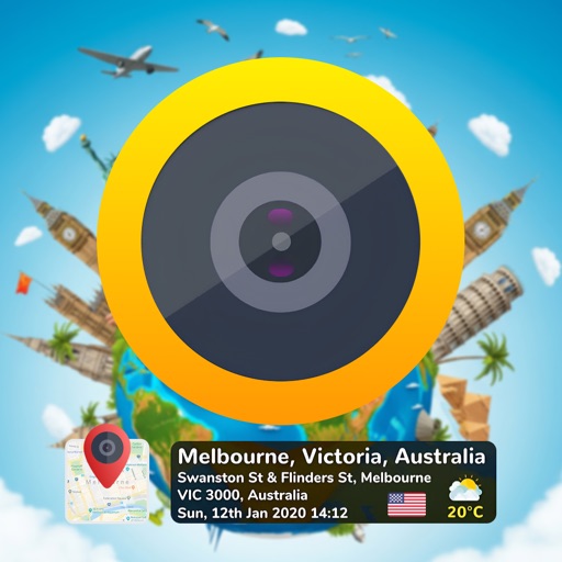
Capture photos and videos with GPS location, address, and sensor data overlays. Add map data to images. Share photos with precise location details. Edit and export captured media.
Track position, height, and acceleration with accuracy in feet, meters, miles, or kilometers. Log maximum altitude and speed. Display and save current or waypoints on a map. Choose coordinate formats for viewing.
View and convert geographic across multiple formats and datums. Manage locations with an intuitive interface. Display current location at the intersection of two grey lines. Export in various global systems.
View real-time GPS maps and switch between map and views by holding the device. Track heading, , altitude, latitude, longitude, speed, and temperature. Use a for accurate navigation and monitor speedometer and temperature readings.
Find and share locations with a map interface. Pin locations to view coordinates or addresses. Select transportation options to share real-time location updates. Quickly check current location or specific destinations with minimal clicks.
Check current using internal GPS and Wi-Fi data. View latitude and longitude in decimal degrees, degrees decimal minutes, and degrees minutes seconds. Suitable for trips, sports, geocaching, and solo travel.
View satellite aerial images of your location with one-tap access. Zoom in up to 32x using full-sensor resolution for clear, detailed images. Capture and save high-quality photos with real-time zoom and stabilization.
Add timestamps and locations to photos. Choose from templates to create diet or exercise notes. Customize layouts by tapping stamps. Save to roll or share with friends.
Capture photos and videos with embedded GPS data. Display location on an interactive map. Show detailed address and coordinates. Include time and date stamps for each media file.
Track and save locations with map marking and note-taking. Record trails and tracks. Set land boundaries and access points. Share coordinates and view area details. Sync with trail camera zones and tree stand spots.