Download and watch video lessons offline. Take quizzes after each lesson. Sync progress to online courses when connected. Access test prep and checkride content. Track course completion and review materials.
Weather "View current conditions, forecasts, and radar maps. Set location-based alerts. Customize notifications for severe weather. Share forecasts with others."
Calculate performance data using actual values from the II Pilot's Operating Handbook. Interpolate results and view high-resolution graphics. Plan flights quickly with real-time updates and detailed performance metrics.
Access aviation courses, including FAA handbooks, FAR/AIM, and practice tests. Watch HD/4K videos. Sync with Apple devices. Track progress through interactive lessons. Earn a certificate with structured course content.
Add GPS data including date, time, latitude, longitude, altitude, weather, and compass to . Share geotagged images with friends to show travel locations. Track live location and embed it into captured .
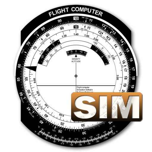
A utility simulates an E6B slide ruler for aircraft pilots. Perform conversions, wind corrections for low and high speed. Rotate, slide, and pinch zoom for precise control. Includes three calculation modes.
Track flights in real time with interactive maps worldwide. View departure and arrival boards for airports. Monitor flights of friends or family. Receive alerts for status changes. Share data via social media.
The app computes heading corrections and ground speed. It aids navigation and diversion techniques for pilots by displaying groundspeed and correction angles around a compass rose.
Store weight and balance data for Phenom 100 and 300 aircraft. Calculate takeoff, cruise, and landing performance. Input weight and balance computations easily. Access performance data during or on the ground. Requires PhenomPilots.org membership.
Track elevation and atmospheric pressure with and barometer. Use compass for direction based on satellite location. Access weather updates and speedometer. Log steps with pedometer. View maps and use binoculars for scouting.
The app provides aviation navigation for Southern Africa with a GPS moving map and detailed airfields database. It includes airspace information, flight planning, and an E6B calculator for enhanced situational awareness.
View real-time METAR and TAF data for airports, sea plane bases, and heliports. Search by name, ICAO, or IATA code. Display nearest, all, or favorite locations on an interactive map. Add or remove favorites. Track weather conditions and forecasts.
The app calculates and interpolates performance data for the Cessna 172 S using its Pilot's Operating Handbook. It displays results in high-resolution graphics and allows users to experiment with different scenarios to find optimal flight parameters.
Calculate performance data for the Diamond using POH values. Interpolate results and adjust parameters with sliders. Display high-resolution graphics for takeoff, climb, and cruise performance.