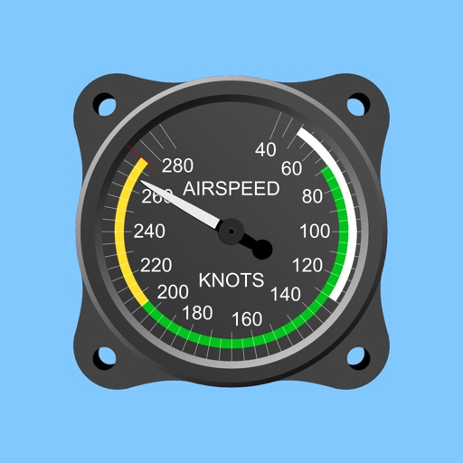
Calculate prayer times during flights using waypoint coordinates and altitude. Determine prayer times en route with ground speed and track data. Sync with flight plans for accurate timing.
Learn aviation theory with interactive lessons and FAA-aligned content. Watch animated videos and demonstrations. Take practice tests and track progress. Access study guides and flight planning tools. Earn certificates upon completion.
Provides GPS altitude and pressure altitude readings. Displays speed in kph, mph, and knots. Measures barometric pressure in multiple units. Tracks acceleration in G forces. Shows location, magnetic, and true heading.
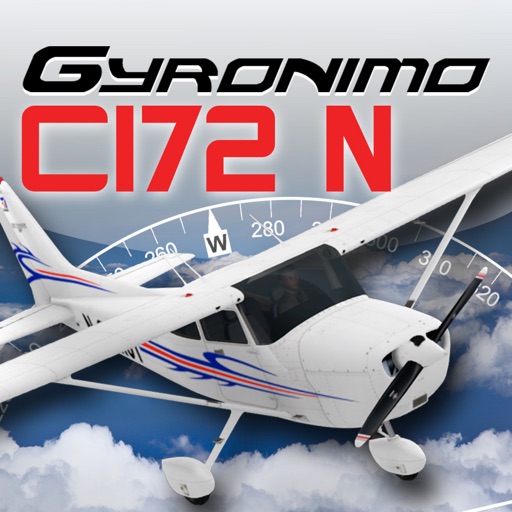
The app calculates and interpolates performance data for the Cessna 172N using its Pilot's Operating Handbook. It computes mass, balance, takeoff, climb, cruise, and landing data, allowing users to experiment with results.
Perform weight and balance calculations for models. Input aircraft data to compute performance metrics. Generate load manifests. Adjust for fuel tank capacity and anti-icing fluid. Sync with flight manuals and avionics systems.
Measure acceleration, orientation, and motion with built-in sensors. Record and analyze real-time data for experiments. Detect and generate sound tones. Visualize audio waveforms. Export measurements and graphs for scientific use.
Display current speed using GPS and show speed limits via online checks. Alert when exceeding speed limits. Track weather, temperature, odometer, altitude, and average/max speed.
Track flights with real-time aircraft positioning on an interactive map. View details including airline, number, times, altitude, speed, and heading. Access AI-generated aircraft visuals for realistic representation.
The app provides altitude readings using GPS, Aster, or barometric data. It functions offline for wilderness adventures and includes features like a speedometer, step counter, and flashlight.
Calculate wind values including head/tail and using TAS input and device location. Manually enter headings if compass data is unreliable. Display reciprocal headings and tracks. Use location data temporarily for wind calculations without storage.
Access real-time data and control virtual . Tune global aviation radios or create custom radio aids. Practice navigation techniques and use as a training tool or supplementary instrument during flights.
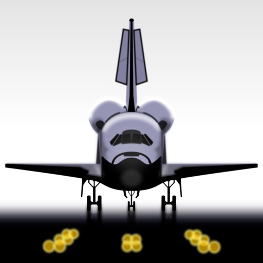
Simulate landings with realistic flight dynamics and detailed graphics. Adjust controls to manage approach and landing. Receive feedback on performance with analysis and scoring. Save and review landing attempts.