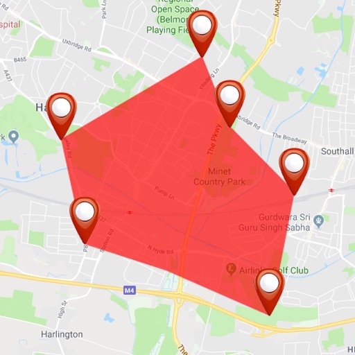

Apps Like GPS Area Measure: GLandGo for iPhone and iPad
Measure land and distance
Measure land , distance, and perimeter using GPS. Create projects, add team members, and sync measurements in real time. Set permissions for different roles and collaborate on shared projects. Export data and view detailed reports.
Ranked alternatives
Showing 201–220 of 1,000 ranked alternatives.

ARuler - Measure Distances
Patrick Balestra
, areas, and volumes
Measures , areas, and volumes using augmented reality. Users can object heights and save results in the Health . Measurements can be stored as images and viewed in metric or imperial units. Supports 10 languages and pre-defined object measurements.





Speedometer: Speed Tracker Pro
AppLiks Sp. z O.O.
Track , distance, and location
Navigation displays current, average, and maximum along with distance traveled. Supports mph and km/h. Shows location on a map and offers projection display mode. Requires location access for accurate tracking.

Free Map Tools
GV Software Solutions Limited
Share map images with marked radius
Lets users measure distances and areas on maps. They can plot a radius around a point with customizable color and size. Share map images to indicate routes, areas, or radii. Export maps as images for documentation or communication.
Millimeter Pro - screen ruler
VisTech.Projects LLC
Measure objects, split parts, calculate ratios
Measure objects using touch as or tape measure. Split objects into equal parts and calculate width/height ratios. Estimate diameter, angles, and divide circular objects. Switch between millimeters and inches for units.


Roof Pitch Gauge: Pitch Factor
Omari Sopromadze
Measure with camera overlay
Measure using camera overlay and CoreMotion for accurate degree and rise/run calculations. Organize measurements by job or client. Capture and annotate photos. Generate client-ready PDF reports.
Land Measure Pro
Pendlebury Software LLC
Area, length, and angles on maps
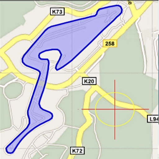
Area, lengths, and angles on maps using an interactive crosshair. Trace outlines to create connected points, updating area and perimeter in real time. Adjust radius for scaling features. View dynamic length and angle as you move the crosshair.

Leica DISTO Plan
Leica Geosystems AG
Sketch floor plans and assign measurements
Sketch a floor using finger gestures on a smartphone or tablet. Assign measurements to each line for accurate scale representation. Visualize and document project details for planning purposes.


GPS Coordinates Locator Map
ANKAGIS YAZILIM ANONIM SIRKETI
Get instantly and accurately
Get accurate GPS and latitude longitude instantly. Display in multiple formats including DMS, UTM, and MGRS. Convert between coordinate systems. Share precise location data directly.

NP Maps
Delcartes LLC
Download and track your route
Download for national parks and USGS topographic regions for offline use. Access 150 NPS park and 60,000+ topographic . Use GPS navigation without internet connectivity. Save for later use in areas with no data service.

How we rank alternatives
Apps are ranked by functional similarity, category fit, rating confidence, and popularity.