Apps Like GPS Area Measure: GLandGo for iPhone and iPad
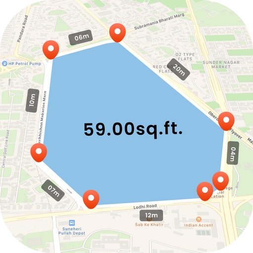
Measure land and distance
Measure land , distance, and perimeter using GPS. Create projects, add team members, and sync measurements in real time. Set permissions for different roles and collaborate on shared projects. Export data and view detailed reports.
by 4Digsoft Technology Limited★ 4.632 ratingsUtilitiesFreeData updated 2026-09-06
Measure upload and download speeds for 2G, 3G, 4G, and Wi-Fi networks with one click. network delay and results. Perform ping, nslookup, whois, and Wi-Fi LAN scans to analyze network performance.
Measure objects using AR by aiming your camera and dragging a virtual ruler. Calculate height, width, length, and area. View real-time measurements and save results for later reference.
Land using GPS technology. Define boundaries on maps to calculate plot sizes. Calculate distances and areas for properties or regions. Save and share measurement data. Sync with mapping services for accurate results.
Measure distances and areas using AR technology. Tap to mark points and calculate lengths. View measurements in inches or centimeters. Save and share measurement data. Sync with other devices for project management.
Navigate off-road trails and remote areas with maps and turn-by-turn directions. Mark waypoints, track routes, and view elevation data. Access terrain details and compass navigation without internet connectivity.
Track routes for hiking, running, cycling, and other activities with GPS. View recorded paths on maps. Save favorite locations for quick access. Measure distance, speed, and elevation. Export data in various formats.
Object dimensions using phone and reference objects like credit cards or DVDs. Snap photos for accurate in-plane measurements. Add custom reference objects with known sizes. Export measurement data for later review.
S.I.C.I. SOCIETA' CONSORTILE A RESPONSABILITA' LIMITATA
Land, calculate , track distance
Distances, areas, and perimeters of land or objects. Save measurements to a library. Access accurate data for any location. Track distances and store objects for future reference. Offers free trial and subscription options for unlimited use.
The app measures length, perimeter, and area on a map using an interactive crosshair. Users can trace map features, and dimensions update continuously.
Lets users overlay photos on Apple Maps for real-time navigation. Photos rotate and scale with movement. Users can track GPS paths, tag locations, and mark waypoints.
View and analyze photos quickly in the field using the ChipReader. Identify low pressure areas on hunting land. Track deer movement patterns to locate activity zones. Save and review image data for hunting insights.
The app measures distances, perimeters, and areas with precision over satellite images. It calculates surface areas, dimensions for fencing, and more without needing to be on location.
Track location, speed, and altitude with real-time GPS data. Use a digital compass for direction. Access weather information and tag locations. Share coordinates and view maps.