

Apps Like FlyOn Pilot for iPhone and iPad
Ranked alternatives
Showing 861–880 of 1,000 ranked alternatives.



Monster Truck Pilot Flying car
Sagar Daingade
Fly trucks and race in the sky
Play a racing game where players control a and fly in the air. Navigate an open-world environment to drive and fly extreme vehicles. Manage services and explore a futuristic city with various vehicles and aerial movement options.


Topo maps - Sweden
Shingle Oy
Save tracks and view topography offline
Use topographic of for accurate navigation. Save and view tracks with detailed information. Export tracks as GPX files and import place marks. Measure distances on . Access offline without internet connection.

Topo maps - Norway
Shingle Oy
Detailed topographic map of Norway.
The app provides detailed topographic maps of Norway for offline use. Users can download map areas, record tracks, plan routes, and measure distances and angles.



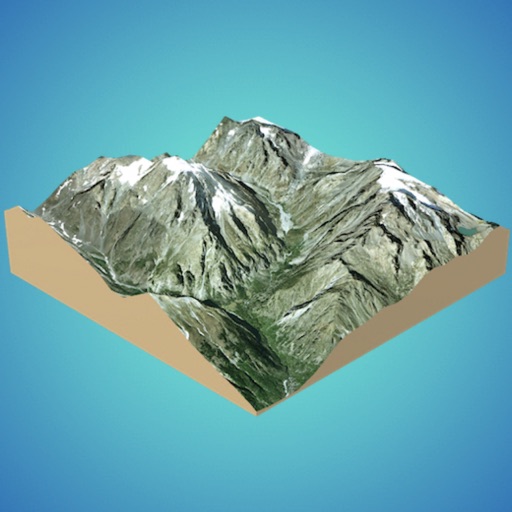
3D GIS Digital Elevation Model
Andres Narvaez
Generate 3D models from internet or cloud
Create 3D models from online sources like Bing Maps or local cloud points. Export data as CSV, TXT, STL, or OBJ. Modify models by cutting, scaling, and animating. Calculate surface areas and volumes in real-world units.


Ember Map
Jarred Casley
Track hotspots and navigate fireground terrain
View and analyze satellite hotspots and GPS data. Access topographic maps and AAHS/NWCG symbology. Import GeoPDF files. Use fire behavior calculators to assess conditions. Track location and monitor fireground activity in real time.

Share Tracks–GPS Route Map
Shenzhen Siyang Xunfei Technology Co., Ltd.
Record, enhance, and share GPS routes.
The app records GPS tracks, allowing users to save routes and add photos, videos, and voice notes. Users can share routes with others or upload them to the cloud for discovery by a global community.
How we rank alternatives
Apps are ranked by functional similarity, category fit, rating confidence, and popularity.