
Topo maps - Sweden
Save tracks and view topography offline
Shingle Oy
iPhone Screenshots
iPad Screenshots


Description
Use topographic of for accurate navigation. Save and view tracks with detailed information. Export tracks as GPX files and import place marks. Measure distances on . Access offline without internet connection.
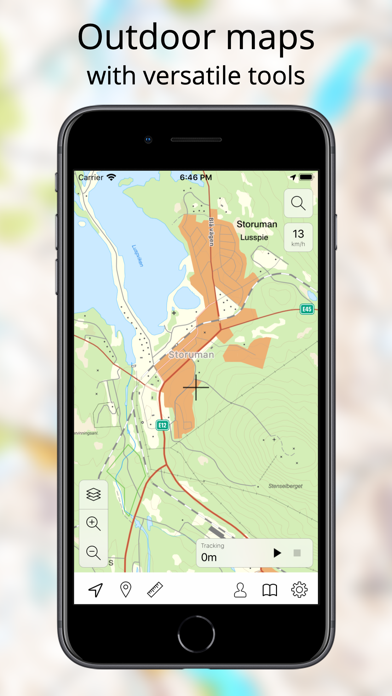
Topography maps for Sweden with versatile tools.
• Accurate maps •
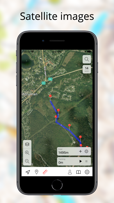
Topo maps - Sweden uses the best maps available.
• Offline •
Topo maps - Sweden stores all map tiles to device so you can use it even without internet connection.
• Route manager •
You can easily save your tracks. A lot of details are shown about tracks. You can also put them on map so you can follow your old paths. The tracks can be exported as GPX-file. You can also import place marks and tracks.
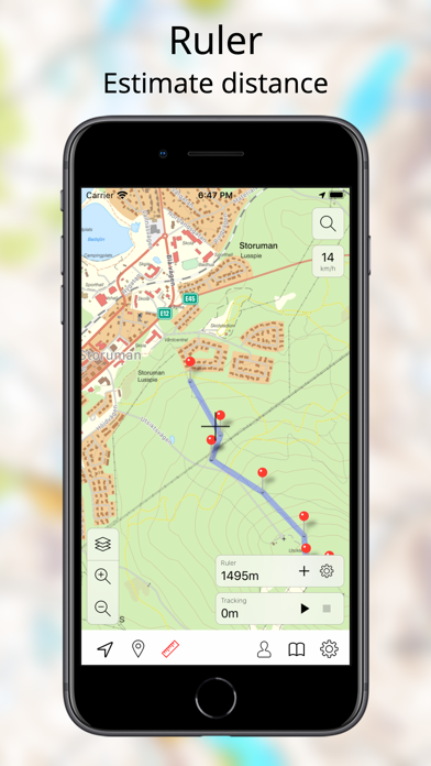
• Measure distances •
With ruler tool can are able to measure distances of places and routes.
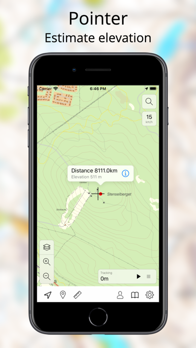
• See altitude •
With pointer tool you see distance to the point. You can also see the estimated altitude of the selected place.
• Base camp •
Save your important point as base camp. You can then navigate back to this place easily.
Continued use of GPS running in the background can dramatically decrease battery life.
Maps (C) Lantmäteriet. We are not responsible for any breaks in the service.
App information from Apple App Store. Topo maps - Sweden and related trademarks belong to Shingle Oy.