Apps Like Live Earth Map Tracker for iPhone and iPad
Explore real-time satellite views
View real-time satellite imagery of any location. Explore 3D terrain and interactive street views. Track location and receive traffic updates. Navigate with detailed maps and location-based information.
by Ladkunvar Ahirwar★ 5.02 ratingsNavigationFreeData updated 2026-09-06
Navigation allows users to load custom charts in S-57, S-63, iENC, BSB, and KAP formats. It automatically downloads NOAA charts and raster maps. Users can create waypoints, routes, and tracks. Night color modes and anchor alarms are available.
Record GPS tracks of trips and analyze statistics. Share routes with friends. Use efficient background tracking to minimize battery drain. Supports Open Street Maps and Google Maps.
Navigate trails with detailed maps of 365+ systems and mud parks. View satellite imagery and add custom markers. Search for trails, cities, and points of interest. Record and share rides. Import trails in .kml, .kmz, and .geojson formats.
Plan and track outdoor routes with 3D terrain views. Measure elevation changes and distance. Save and share custom trails. Access real-time GPS navigation and offline maps. Adjust routes based on elevation and difficulty.
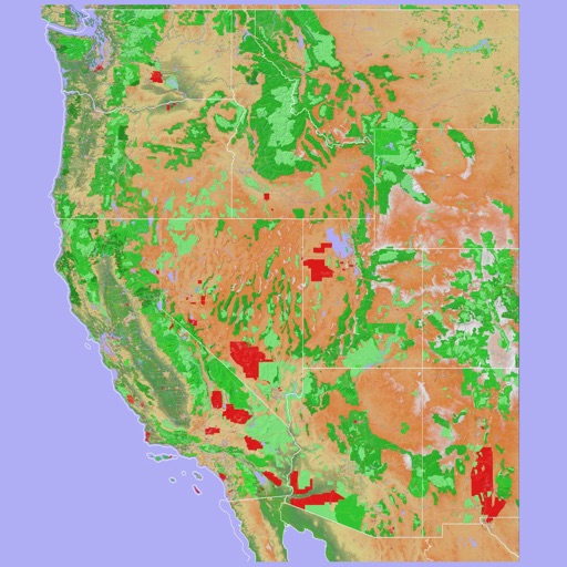
Provides offline maps of the entire United States. Displays roads, terrain, streams, lakes, and landmarks. Works without cell signal. Allows zooming and panning. Includes compass and scale. Supports saving and sharing map views.
Search for oil wells across 20 states and view produced oil, water, and gas data. Filter wells by location and type. Export details and track production metrics. Navigate to sites using map views.
Navigate using a 3D topographic map of the USA and Hawaii. Access offline vector maps for navigation in vehicles or outdoors. Switch to online maps for global coverage with automatic caching. Explore locations with zoom and scroll features.
Track satellites in real time with world map and overhead sky views. Identify satellites and the International Space Station with orbit . Determine dish orientation for geostationary satellites using GPS. View passes for any location.
Receive real-time traffic alerts and navigate with voice guidance. Share traffic incident updates with others. View accurate routes and save time by avoiding delays. Contribute to community traffic data through simple submissions.
Navigate Lake by marking and accessing marinas, boat launches, restaurants, and other points of interest. Save favorite locations for quick access. Create custom places on the map for specific activities like relaxation or wakeboarding.
Navigate with a 3D topographic map of the USA. View detailed terrain and vector data offline. Use in vehicles or during outdoor activities. Access global maps online with automatic caching for offline use.