The app provides navigation capabilities using LINZ RNC Nautical Charts, even without a cell signal. It allows users to record tracks, mark waypoints, and create custom routes for their journey.
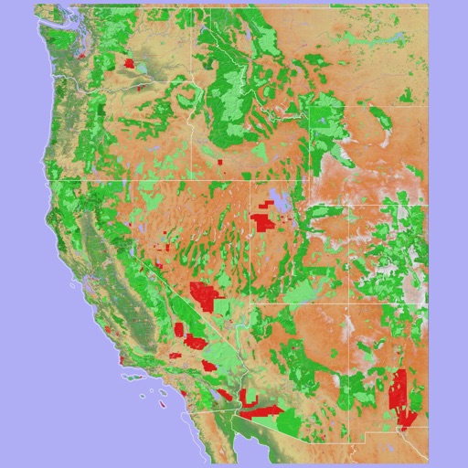
Navigate using a 3D topographic map of the USA and Hawaii. Access offline vector maps for navigation in vehicles or outdoors. Switch to online maps for global coverage with automatic caching. Explore locations with zoom and scroll features.
The app provides coordinate reading and navigation for users needing exact position data. It supports multiple coordinate formats and works without a connection for conversions and saved places.
Displays current , distance, direction, and altitude in MPH, KM/H, and KNOTS. Shows decimal values. Tracks top and average . Records and altitude data for the last few hours. Supports iPhone and iPad. Includes "speak " feature for audio feedback.
The app combines compass and location sharing features. It displays the user's current address, latitude, longitude, and altitude on a map, and can share a map link via SMS or email.
Monitor UV Index levels for any location globally. View current UVI and forecast for the day. Select locations to check UV levels. Receive alerts for high UV exposure. Track sun elevation impact on UV intensity.
Use to determine directions and navigate. Rotate device 360 degrees for orienteering. Access camera preview to align with surroundings. Set bearings and track movement without GPS.
Calculate and Qiblah direction for any city worldwide. Track fasting and Sahoor for Ramadan 2026. Set Imsak schedules for abstinence. Display Hegira dates and save them in the calendar. Add events with Hegira dates. Locate Qiblah using Google Maps.