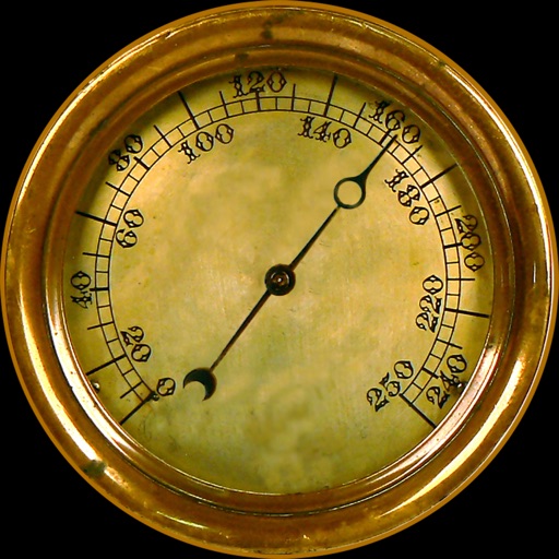
Displays current position via GPS with a map and sea level measurement in meters. Converts meters to feet using a calculator. Measures barometric pressure with a sensor for altitude tracking. Alerts for potential flooding.
Navigation provides altitude, barometric pressure, and compass readings. Measures humidity, rainfall, and temperature. Includes magnifying glass, metronome, ruler, and spirit level. Displays speed, vertical speed, and VU meter.
Track speed, location, and other real-time data using GPS. View trip reports with distance, time, and route maps. Sync data to Apple Watch for on-the-go monitoring.
Rotate and zoom the 3D world map to explore locations in real-time. famous landmarks and global wonders with detailed descriptions. Access live camera feeds and location-based views to see current scenes around the world.
The app provides continuous audible monitoring of the user's current speed. It tracks speed using the iPhone's GPS and plays associated sound effects when the user enters defined speed ranges, changing the screen color accordingly.
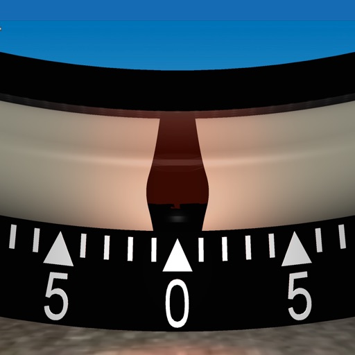
Measures roadway curve angles in degrees. Calculates combined effects of superelevation, vehicle roll, and lateral acceleration. Provides advisory speed recommendations for horizontal curves. Syncs with devices for data storage and analysis.
Track trips with real-time GPS data including speed, position, distance, elevation, and map display. Record details and export GPX files for review in Google Earth. Sync data to a computer for geo-tagging and management.
Tracks location, speed, altitude, heading, acceleration, g-force, and atmospheric pressure. Displays and records current weather. Plays back tracks at multiple speeds. Provides suggested routes for reference. Allows pausing and resuming tracking.
Provides real-time camera alerts and radar warnings. Displays maximum limits in the area. Integrates with Apple Music. Supports Apple CarPlay for dynamic map updates. Offers customizable car brand skins for the speedometer.