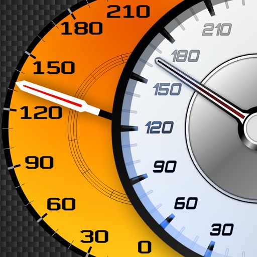
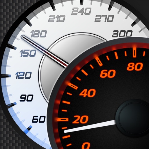
Track vehicle speed using GPS or simulation mode. View detailed speedometer displays with realistic graphics. Hear authentic engine during acceleration. Explore speed data from popular supercars.
Monitor trip data with live metrics like average speed, current speed, top speed, distance, direction, travel time, stationary time, and clock. Customize display style and speed units. Arrange metrics on screen.
Tracks current, maximum, and average speed using GPS. Displays speed in analog and digital formats with colorful LED. Records distance traveled and trip time. Functions as a trip meter and for vehicles, walking, running, biking, and boating.
Track current speed, average speed, and maximum speed using GPS. Display speed camera locations. Overlay video recording speed on footage. Include HUD interface for real-time speed visibility. Sync with devices for dashcam functionality.
Get real-time updates and avoid accidents, construction, and potholes. Receive safety alerts and accurate estimated arrival times. Navigate with GPS and adjust routes based on current conditions. Share road conditions with other drivers.
Navigate using real-time GPS for driving, walking, cycling, and public transport. Get fuel-efficient routes and turn-by-turn voice directions. Find businesses and places with photos, reviews, and details.
Displays current speed in mph, km/h, or knots. Features a large, clear indicator with adjustable transparency for better accuracy. Uses device hardware to estimate speed. No additional features or connectivity options.
Book rides with real-time route and cost visibility. Select from various vehicle types including bikes, scooters, and luxury options. Set priority pickup for faster service. Pay directly through the . Track driver location and estimated arrival time.
View and convert geographic across multiple formats and datums. Manage locations with an intuitive interface. Display current location at the intersection of two grey lines. Export in various global systems.
Receive real-time alerts for , traffic updates, and limit changes. View specific notifications for cars, motorcycles, trucks, and commercial vehicles. Access offline detection features and track limits while driving.
Track rides with real-time statistics including speed, acceleration, and lean angle. Create and save ride logbooks with photos and notes. Search for new and connect with nearby riders. Share ride data and maps. Sync ride history across devices.
The app displays current speed in real-time using the iPhone's GPS receiver. It features analog or radioclock style displays and an optional HUD mode for projection onto a windshield.
Plan hunts by viewing species distribution and 3D . Access units and land boundaries. Save offline and mark waypoints. Track weather conditions and property lines. Use satellite, lidar, and hybrid basemaps for terrain analysis.
Track speed, distance, elevation, and weather in real time. View travel time estimates. Access a Heads Up Display for quick information. Monitor trip details and receive alerts for speed limits and road conditions.