Apps Like Maps Anywhere: Offline GPS for iPhone and iPad
Track location, map terrain, and navigate safely
Track location and navigate back to a marked waypoint using directional guidance. Measure distance to the waypoint in meters. Save multiple waypoints for future reference. Share coordinates with others for group navigation.
by Ali Mert TUFEKCI★ 5.02 ratingsNavigationFreeData updated 2026-09-06
Track vehicles in real time using GPS. View location updates, monitor movement, and receive alerts. Manage fleets, track school buses, and oversee assets. Set up employee schedules and access vehicle data remotely.
Calculate distances and areas using GPS. route lengths and track movement. Access GPS Camera, Compass, and Speedometer for navigation. View Satellite, Normal, Terrain, and Hybrid maps. Locate nearby points of interest and monitor live positions.
Land, fields, and property using GPS or manual input. Place markers on the map or walk boundaries to calculate , distance, and perimeter. Choose units like square meters or square feet. Save and share measurements.
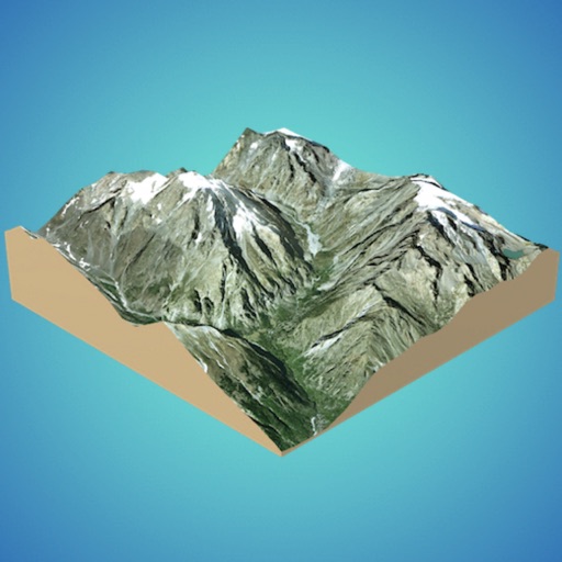
Create 3D models from online sources like Bing Maps or local cloud points. Export data as CSV, TXT, STL, or OBJ. Modify models by cutting, scaling, and animating. Calculate surface areas and volumes in real-world units.
Access real-time trail data for the 2025- winter season. View detailed trail maps, navigate trails with or without mobile data, and receive trail conditions and closures. Set waypoints and track progress along routes.