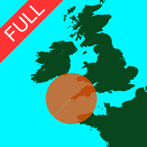
Create and edit spatial data files using text or dBASE formats. Generate KML/KMZ files for map locations. Display icons, circles, cylinders, lines, and polygons. Add images with midpoint or corner points.
The app provides access to any character or glyph within any font, allowing users to use them in other applications. It also enables side-by-side font comparisons, printing of font catalogs, and viewing detailed character and font information.
Plan trips by analyzing speed limits and unlimited sections along routes. View detailed maps with speed zone information. Explore highway data and historical speed records. Save and share route details with specific speed restrictions highlighted.