Use Google Maps to locate survey monuments, control points, and benchmarks. Re-project 2D CAD data to WGS 84 for accurate positioning. Geotag photos to verify benchmark accuracy. Check reliability through other surveyors' usage.
by Aerial Reconnaissance LLC★ 5.02 ratingsNavigationFreeData updated 2026-09-06
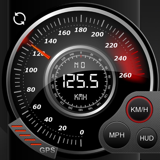
Record data including , average , distance, altitude, and elapsed time. View real-time GPS tracking with longitude and latitude. Monitor statistics and save history. Sync with devices for offline navigation.
Shows real-time next departures at your stop. Displays arrival times for buses and trains. Allows filtering by route and vehicle type. Provides service alerts and schedule changes. Offers trip planning with stops and transfers.
Vehicle locations in real-time using maps. View detailed vehicle information and manage vehicle settings. Playback driving history and set alerts. Navigate to locations via Gaode Map or Google Map.
View real-time departures at your stop. Check arrival times for upcoming trains. Receive updates on delays or changes. Navigate through the Ruhr region using integrated maps. Set reminders for scheduled departures.