

Apps Like Aerial Recon for iPhone and iPad
Re-project CAD data to locate monuments
Use Google Maps to locate survey monuments, control points, and benchmarks. Re-project 2D CAD data to WGS 84 for accurate positioning. Geotag photos to verify benchmark accuracy. Check reliability through other surveyors' usage.
Ranked alternatives
Showing 621–640 of 1,000 ranked alternatives.


Track4Facts PRO: Drag & Track
Klaus Neuendorf
Track routes and analyze speed data
Record driving routes with GPS tracking. View speed, distance, duration, and average speed. Analyze maximum speed, acceleration times, altitude changes, and stops. Display data in charts for performance review.

HexaTrek : Thru Hike France
Kevin Ginisty
Navigate the trail and parks
Navigate a 3034 km trail through French mountain scenery, linking 14 natural parks from the Vosges to the Pyrenees. Track progress, view maps, and access trail markers. Find bivouac sites, plan stops, and explore villages along the route.


Ścieżka Piekarczyka
Cormo Sp. z o. o.
Explore Elbląg's Old Town sights.
The mobile application explores Elbląg's Old Town sights using a mobile device. It uses the legend of the Baker to share city history and monument details, including pre-WWII photos.


Maplet - Location Pins
Gemsheer Chalil
Save locations with and notes
Save and organize locations with titles, notes, photos, and voice memos. Create folders to group locations. Share across major map apps. Track and manage work sites, travel stops, or personal places. Set private access and view details.


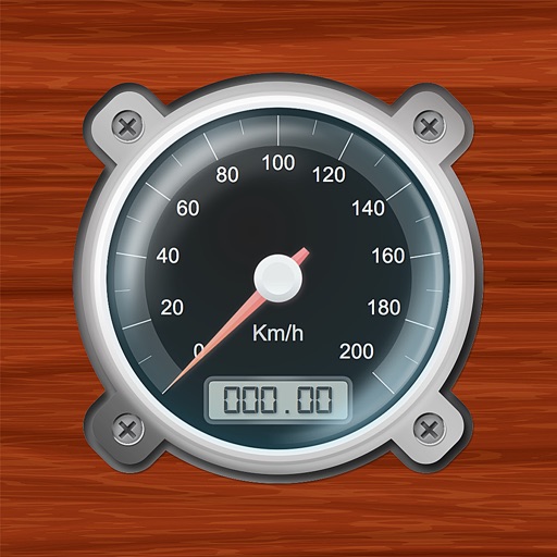
Speedometer-PRO
3B Soft srls
Speedometer and GPS trip computer.
The app tracks trips and exports data in gpx and kmz formats. It synchronizes local tracking data with a configurable OpenGTS server for fleet tracking.




How we rank alternatives
Apps are ranked by functional similarity, category fit, rating confidence, and popularity.