

Apps Like NRDS Mobile Mapping V2 for iPhone and iPad
Ranked alternatives
Showing 121–140 of 1,000 ranked alternatives.

Ondago
Mapgears Inc.
Locate yourself and explore destinations
Access real-time location data and digital maps of tourist sites. View official paper maps alongside digital navigation. Search for points of interest and get directions. Bookmark locations and share maps with others.


Pasture Pro
Ag Innovations LLC
Manage land with maps, track livestock, record
Manage land operations with mapping tools, livestock tracking, and productivity records. Track finances, equipment inventory, and crop insurance policies. Create task lists and monitor assets using camera-based inspections.
Field Area Measure - Land GPS
Anastasiya Evseenko
, track distances, calculate areas
Distances, perimeters, and areas by placing pins on a map. Calculate results in square meters. Save and share measurements for planning and analysis.
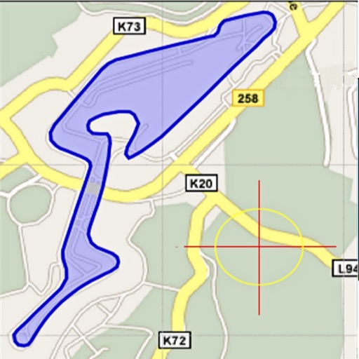
Land Measure Pro
Pendlebury Software LLC
Area, length, and angles on maps
Area, lengths, and angles on maps using an interactive crosshair. Trace outlines to create connected points, updating area and perimeter in real time. Adjust radius for scaling features. View dynamic length and angle as you move the crosshair.

Map Calculator 2.0 - Measure Distance & Area, Map a Walk, Run or Bike Ride
Dima Bart
, area, and paths on maps
Distances between points or calculate area of locations. Draw paths on maps or tap to add points. Record movement automatically while walking, running, or cycling. Save measurements for later review.


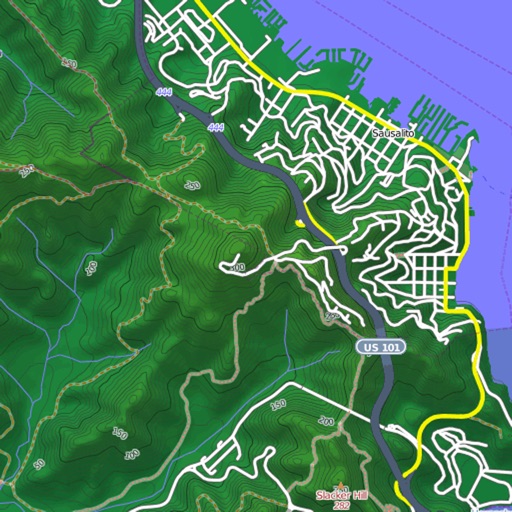
Mapster
Syzygy Research & Technology Ltd.
View maps, download trails, store routes
View and download detailed maps with topographical hillshading and contour lines. Store maps for offline use. Navigate using detailed terrain features. Find hiking trails, ski runs, and back streets.

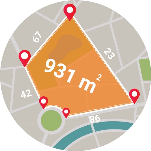
Live GPS Land Area Calculator
Muhammad Asad Khan
Measure areas and distances with GPS
Calculate areas, plots, and distances using GPS technology. Draw and map regions on a map. Measure perimeter and of custom shapes. Save and share measurement data. Export maps in various formats.


GeoTagr
Chris Cornelis
Tag your photos with location data
Adds location tags to photos taken with supported devices. Users can geotag images from iPhone, iPad, Mac, Dropbox, and Flickr. The automatically records location data during photo capture. Tags help organize and identify where photos were taken.


Iphigénie | Offline Maps
Iphigenie
Navigate with detailed topographic maps
Plan hikes by downloading detailed topographic maps for offline use. Access IGN, SwissTopo, and OpenTopo basemaps. Track routes, view elevation data, and navigate with precise geographic information. Share maps and waypoints with others.
How we rank alternatives
Apps are ranked by functional similarity, category fit, rating confidence, and popularity.