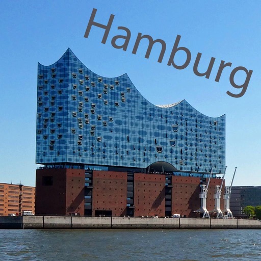
Navigate using real-time 3D city views with realistic architecture and dynamic lighting. Explore landmarks and buildings with immersive street-level visualization. Rotate and tilt 3D scenes for better orientation.
The app looks up any latitude/longitude coordinate on the earth's surface and displays it on a satellite image or map. It is useful for finding a location specified only by its coordinates or to map out a SIGWX area.
Locate yourself using GPS and map verification. Find routes visually or via search. View real-time transit updates. Plan trips within the Helsinki area. Track public transportation schedules and delays.