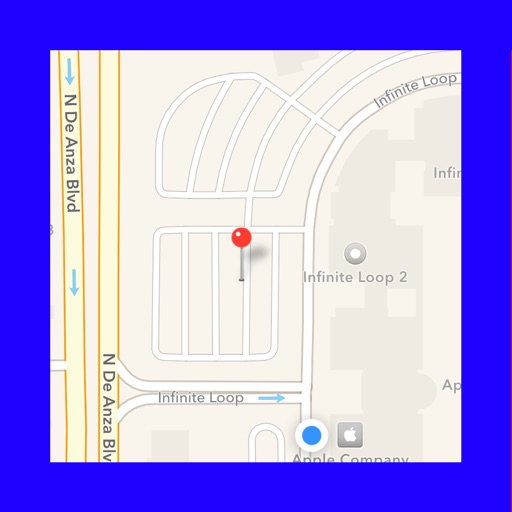
Track movement with speedometer, odometer, compass, and altimeter. View fullscreen map with location. Play music and audiobooks on the go. Measure distance traveled on iPhone or iPad. Includes clean, modern interface.
Navigate using real-time GPS for driving, walking, cycling, and public transport. Get fuel-efficient routes and turn-by-turn voice directions. Find businesses and places with photos, reviews, and details.
Track outdoor activities like hiking, biking, walking, and running with GPS. Save and navigate to waypoints. Store favorite destinations. View activity logs and maps. Share routes and track progress.
Panoramic 360-degree images for navigation. Pan around locations using GPS to find directions. Access live views and satellite maps for real-time positioning. Track routes and receive turn-by-turn guidance.
Navigation allows users to view direction aligned with satellite imagery or maps. Displays street address, GPS coordinates, elevation, and What3Words codes. Taps switch between satellite and map views. Pinch or spread to zoom.
Display current coordinates, address, county, and altitude for exact location. Scroll the map to navigate and track surroundings. Open the to instantly view position details.
Coordinates can be viewed and shared via decimal degrees, degrees-minute-seconds, degrees-minute-decimal, UTM, and military grid systems. Users can tap a map to retrieve coordinates and directions.
Allow users to explore locations without an internet connection. They include detailed global with millions of points of interest. Users can download for use and bookmark favorite locations. GPS tracking enables recording of travel routes.
Plan and execute backcountry trips with detailed topographic maps. Customize maps for specific activities. Download and compare maps for offline use. Combine overlays to adjust map views. Build routes with smart tools.
The app provides arrival guides, customs exit tips, and internet access information. It also offers hotel routes, taxi and transit planning, and local culture tips for users in China.
View detailed maps and get turn-by-turn navigation for driving, walking, and cycling without requiring an internet connection. Access preloaded travel guides for hundreds of destinations to plan trips efficiently.
Find free sites without internet. View driving distance and time from current location. Explore user-sourced sites with variable ratings. Save favorites and navigate using map features.
GPS tracks current speed, distance, and altitude. Displays average and maximum speed. Shows speed limits in real time. Supports mph, km/h, and knots. Measures travel time and battery level. Works offline.
The app provides offline maps for searching places and addresses. It offers navigation for cars, public transport, bikes, and walking with real-time traffic conditions and voice guidance.