Provides turn-by-turn GPS navigation with lane guidance and spoken instructions. Detects speed cameras in real time. Tracks route distance, time, speed, and speed cameras encountered. Displays real-time traffic updates and gas price information.
The app displays real-time asset locations on a map and shows past tracks and events. Users can view their location relative to tracking assets and receive notifications for defined geo-related events.
Monitor vehicle and asset locations in real time using GPS. View speed and battery life by tapping icons on the map. Track multiple devices across a fleet. Receive alerts for geofence violations. Share location data with authorized users.
Arthur Eduardo Skaetta Alvarez Desenvolvimento de Software LTDA.
Distances and areas with GPS
Distances and areas using satellite images. Tap the map to add markers and calculate distances or enclosed areas. Search for addresses to locate measurement points. Support multiple units including square feet and square meters.
The app provides a map for Tokyo Disneyland in Japan. Users can find attractions, restaurants, and shows, with directions available via GPS and compass.
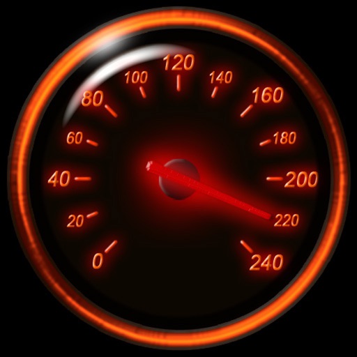
Track speed using iPhone's GPS. Display speed in mph or km/h based on region settings. Show max and average speed. Choose between digital and analog display styles. Monitor speed during car, bike, running, or riding activities.
Provide turn-by-turn GPS navigation with lane guidance and spoken instructions. Display limits and integrated detection. Automatically record routes, showing distance, time, , and cameras encountered.
The app displays map coordinates in multiple grid formats including British Grid, Irish Grid, MGRS, and UTM. It also shows Latitude & Longitude in decimal and sexagesimal notation for global use.
KLEEMANN HELLAS INCORPORATED INDUSTRIAL COMMERCIAL COMPANY FOR MECHANICAL CONSTRUCTIONS SA
Evaluate elevator ride quality measurements.
The app measures elevator ride quality by evaluating acceleration, speed, vibrations, and noise. Users can make adjustments if deviations are detected.
Record and display GPS-based measurements with a map line. Share results on social media. Obtain current location via GPS. Option to minimize battery use without GPS. Does not run in the background.
Track speed in MPH and KMH with GPS. Monitor trip distance and travel time in real-time. View data on a high-contrast display suitable for day and night use. Includes a low-light mode for improved visibility during nighttime driving.
Provide turn-by-turn voice with real-time traffic updates. Display maps and satellite views. Access offline maps and GPS directions without internet. Find nearby food, events, and activities. Include Google Street View for location details.
Measure areas using GPS or manual map points for accurate calculations. Switch between and distance modes. Save measurements for later access. Use compass navigation for directional guidance.
The app records vehicle travel data, displaying real-time measurements like speed, distance, and altitude. It offers features such as trip recording, customizable themes, speed limit alerts, and HUD mode.
Use to view a digital overlay. Navigate using GPS for real-time directions. Check accuracy based on device sensors. Adjust orientation for precise navigation.
Track with GPS accuracy for driving, cycling, skiing, running, and boating. View real-time data and historical logs. Set limits and receive alerts. Export trip data and share records. Sync with fitness apps for activity tracking.